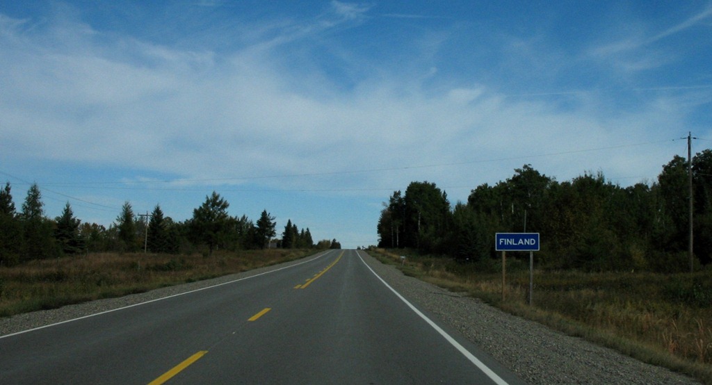
Wasagaming and Clear Lake
2011/09/25
Today was a mini-vacation – a break from driving, at one of my favorite places, Riding Mountain National Park – specifically the town of Wasagaming, which is on Clear Lake.
Had breakfast at the aforementioned restaurant that turned me off milk for two years – decided to give them a second change, decades later – and it was not bad. I didn’t have any milk though.
After that, I went and walked around the campground for a bit. We used to camp here frequently in our Manitoba days. I don’t have many specific memories of it, but still a general feeling of happy nostalgia washed over me while I was walking around. Plus it’s beautiful. Here’s what a typical campsite looks like:
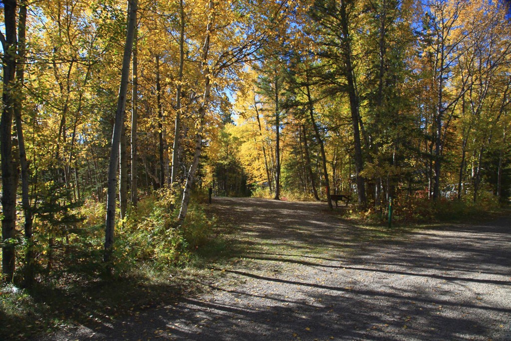
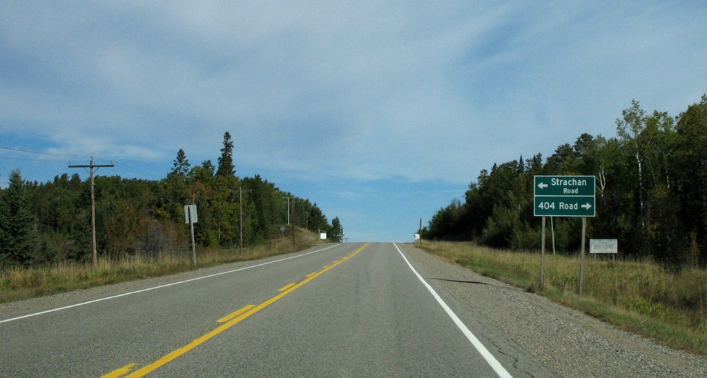
Lots of room, a picnic table and fireplace, and enough trees between sites to give a bit of privacy. The sites are all open at both ends onto roads that look like these:
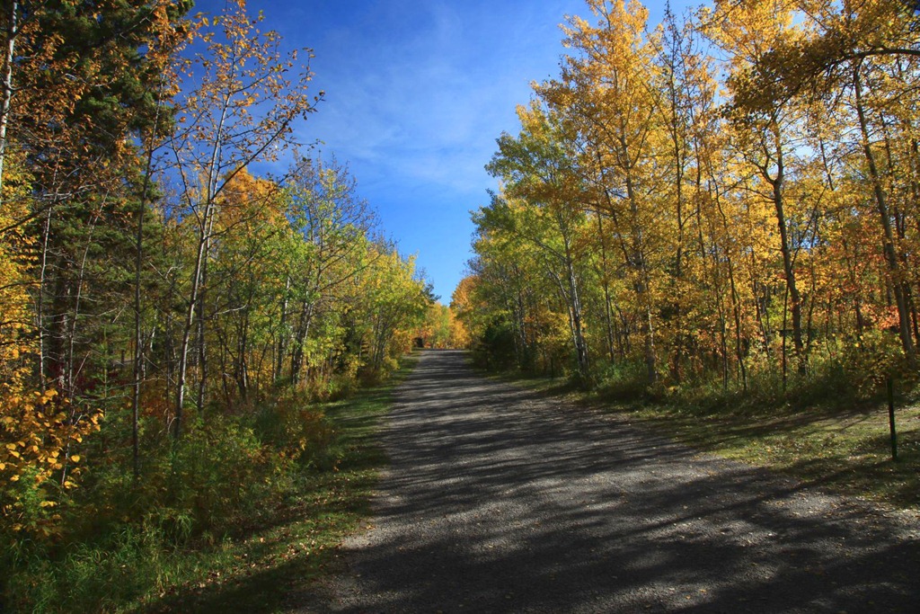
If you’re camping here, the preferred way to get around and go into town is by bicycle, but it’s an easy walk too.
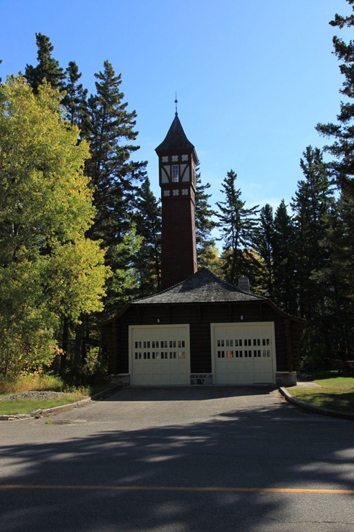
I walked around town a bit. Here’s the old firehall:
And I went back to the favorite ice cream parlour and bought the favorite ice cream – two scoops on a double cone:
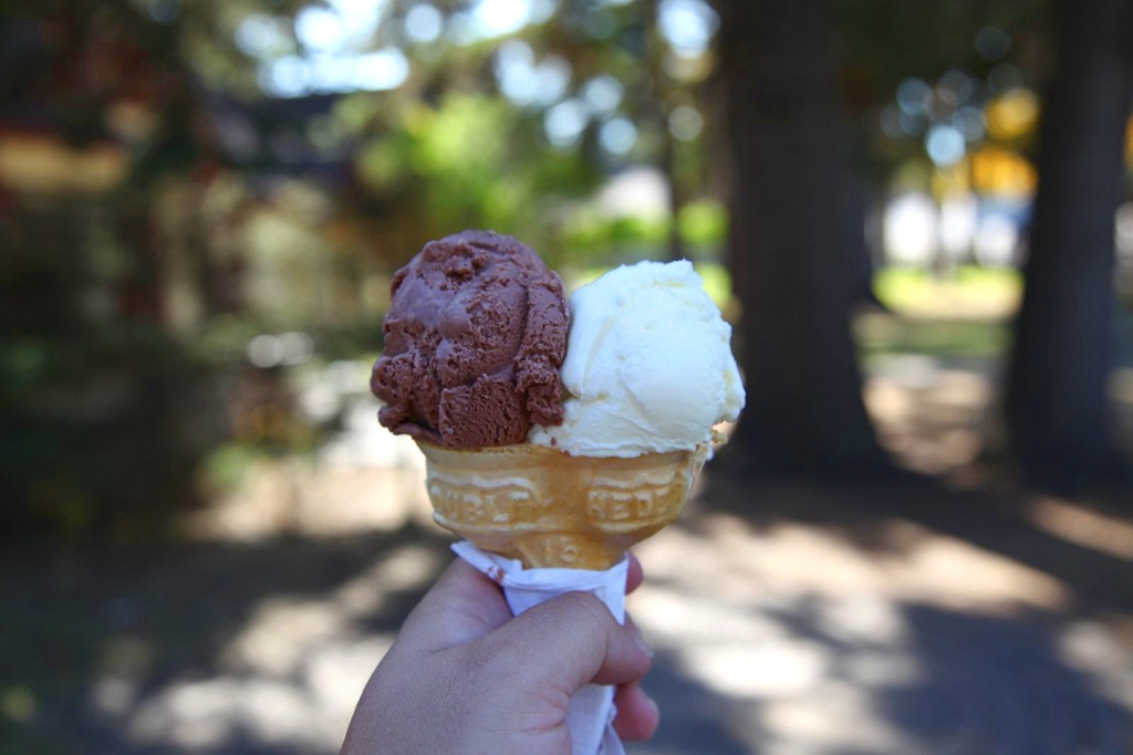
As a kid I was amazed by these weird mutant double-headed ice cream cones, and wondered how they made them. Seldom saw them anywhere else so I still associate them with Riding Mountain.
By accident I discovered an old memory. This purple martin birdhouse:

inspired me as a child – I wanted to make birdhouses all fancy like that. When we got back to the farm I did build some birdhouses, some of them multi-story, but they didn’t turn out quite as fancy as this. :)
My main mission for to day was to sit around near the beach contemplating my cross-Canada road trip, what it means to me, and what I want out of life.
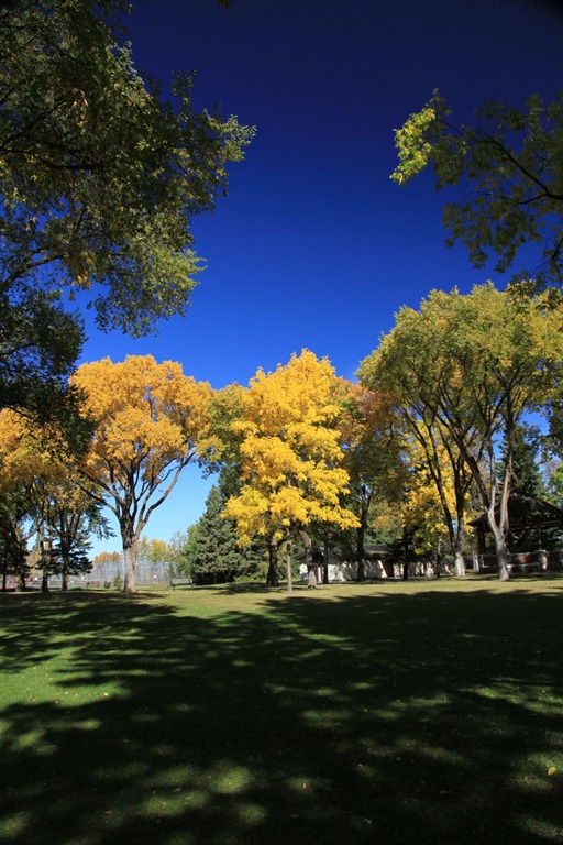
To that end, I spent some time lying down on a picnic table, watching the breeze rustle the leaves on these trees:
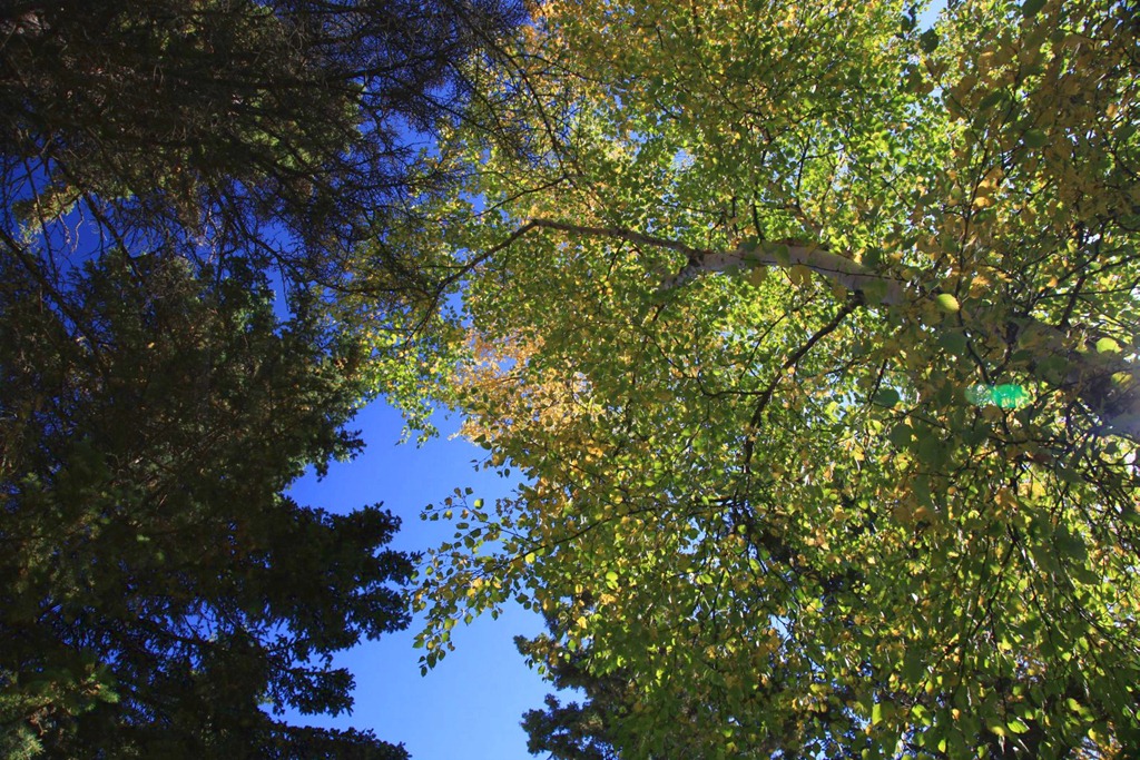
Which is a really relaxing thing to do – I can’t recommend staring up at trees enough. Might want to wear glasses though to keep falling things out of your eyes.
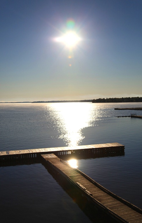
I also went out onto the jetty next to the beach, and sat here for a while, thinking:
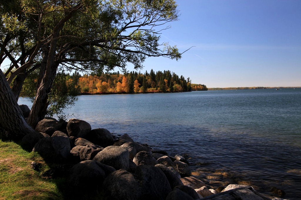
Watching the wind raise ripples in the water, and the jetty shape interference patterns in the ripples, was also relaxing.
I was finally starting to get into this whole thinking thing seriously when a hornet crawled up my shirt and bit me on the chest. OUCH! I haven’t been bitten by a mandibled insect since I was a kid and I forgot how much it hurt. I rushed back to my room to disinfect it and see if there was a stinger present – no, but it swelled up a fair bit. By the end of the afternoon the swelling was gone but the bite still stung.
That kind of interrupted my chain of thought. I went and sat near the beach again, but kept getting interrupted by more bugs crawling on me, so eventually I gave up on trying to get any serious thinking done today.
Still, it was a nice day off from driving and I definitely did get some good relaxing in. From here it’s the home stretch back to Vancouver, with a brief stopover in Calgary, and then my road trip will be done.
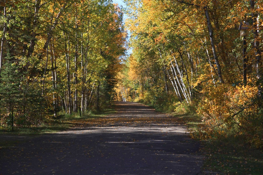
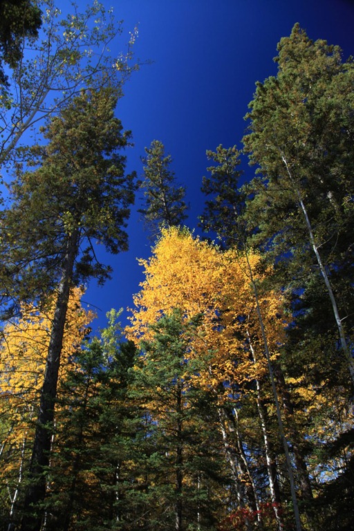
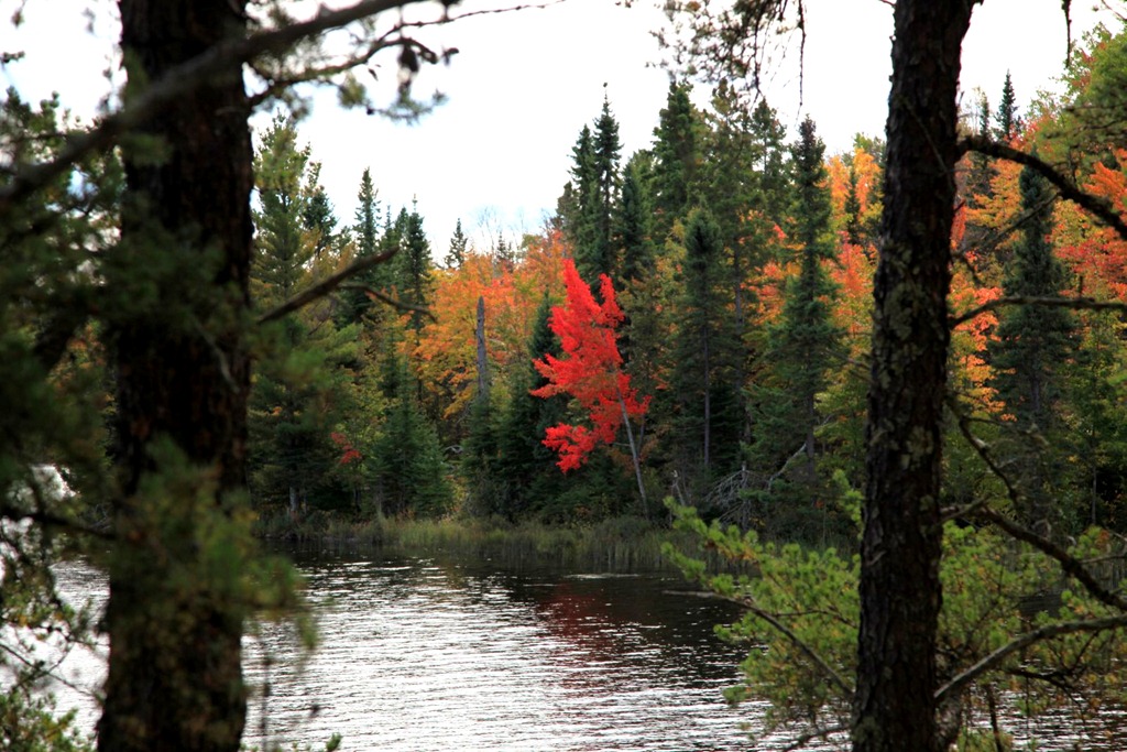
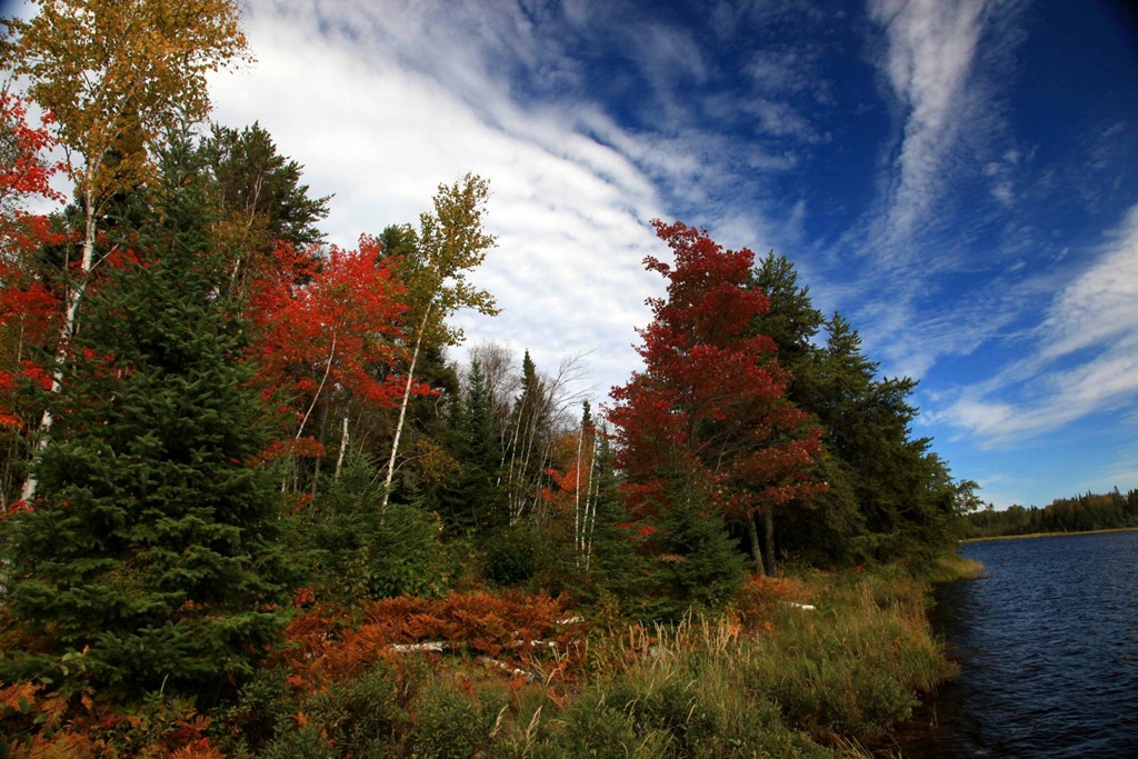
More fall color photos:

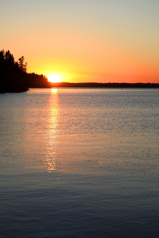
At the end of the day, I went back out to get some sunset photos – nothing spectacular due to lack of clouds, but it was nice.
[gmap file=”__UPLOAD__/2011/09/20110925.kml” visible=”true” type=”satellite” center=”files” zoom=”auto”]
to Saskatoon
2011/09/26
Wow, this was a long day. I was behind the wheel for nine hours today – by far the longest day on this trip in terms of driving time. Do not want to do that again.
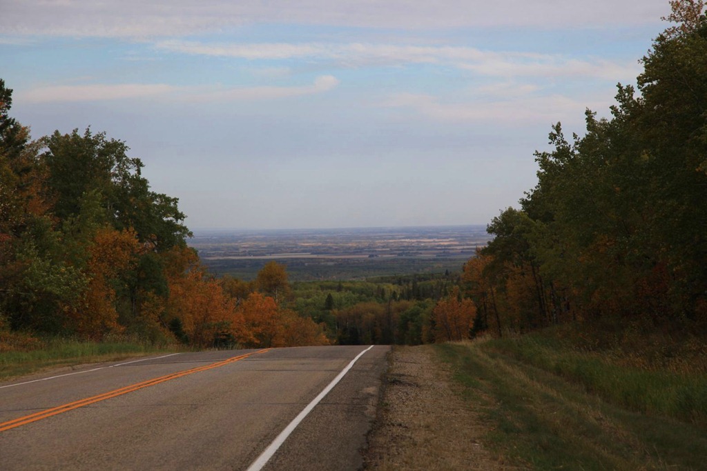
Left Wasagaming via the north exit from Riding Mountain park – here’s the view to the north.
I’ve only ever been this way once before, when my mother went to see some sort of motivational speaker in Dauphin and I went along for the ride. I don’t remember much about Dauphin at all, and I elected to bypass it this trip.
Next stop to the west was Roblin, which we went to several times while we lived at the farm. I don’t recall why we went there though. There was a playground I liked that had one of those fat, short, shiny slides – it got scalding hot in summer. And this building:
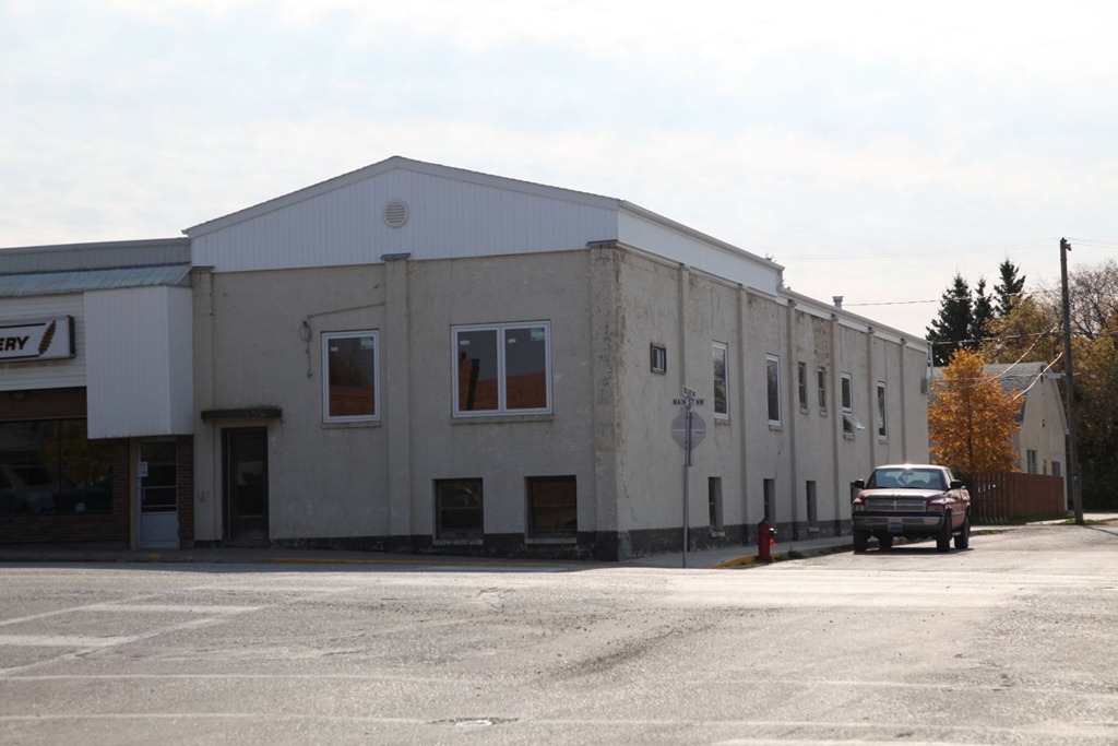
used to have an arcade in the basement. It’s the only place I have ever seen a Black Widow machine – that game was really hard to play. This is also either where I first played Stargate, or where I most played it. Mastering those space cadet controls was half the challenge.
On one of our trips to Roblin, I discovered a hard lump on my elbow. We went to a local doctorb to have it looked at. She said it was just a skin cyst and would grow out in a couple of years. Well, here I am more than twenty years later and it’s still there, unchanged. That’s how I know it’s a Thought Police tracking device. :)
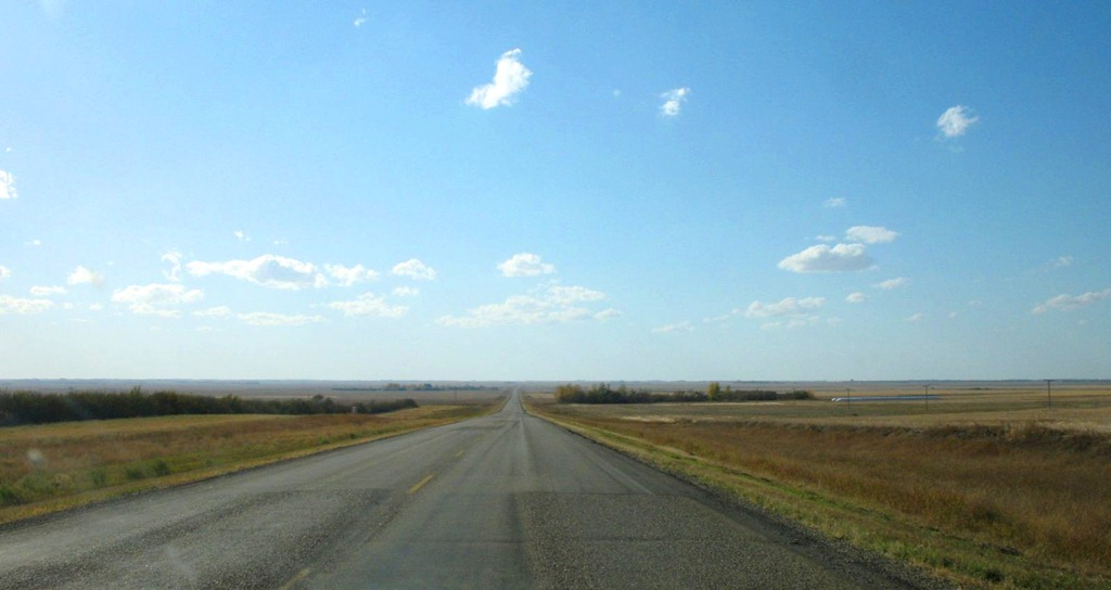
Moving on from Roblin, I stopped for lunch in Yorkton, then got on to what we called “the back way”, which was the most direct route between our farm and Calgary – mostly consisting of highway 15. It cuts straight across Saskatchewan, passing between Regina and Saskatoon. We liked this route because it was more direct, and had much less traffic than the more standard Trans-Canada or Yellowhead Highway routes. I wanted to revisit it at least partway for old time’s sake.
Well, it never was a terribly great road but now it’s in awful shape. Some sections have nasty pothole problems and sags from heavy grain trucks and farm equipment abusing it, and some parts have even been replaced with gravel – an improvement over the state of the adjoining paved sections.
One thing I remember about this route now – it seemed interminable. That is still true. The road is very straight and very flat. It mostly looks like this:
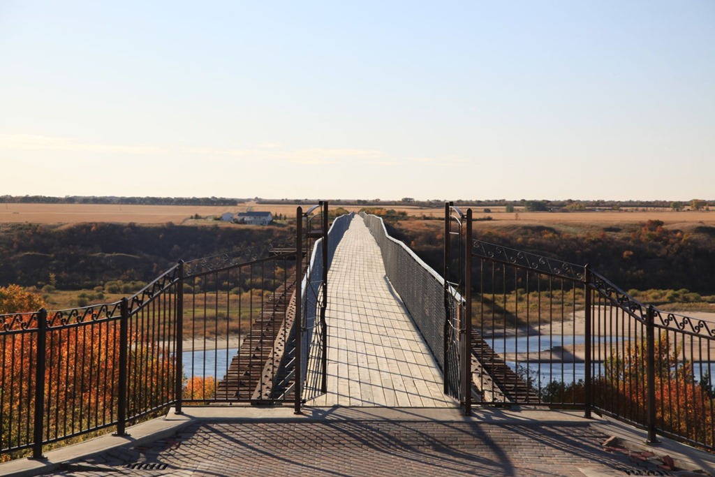
My destination for today was Saskatoon but I took a slight detour to visit the town of Outlook, because I wanted to rephotograph two landmarks there.
The first was a roadside… thingy… called Boot Hill – basically a fence with dozens of different kinds of boots nailed to it. I didn’t find it today, but perhaps I didn’t go quite far enough. Not a big deal.
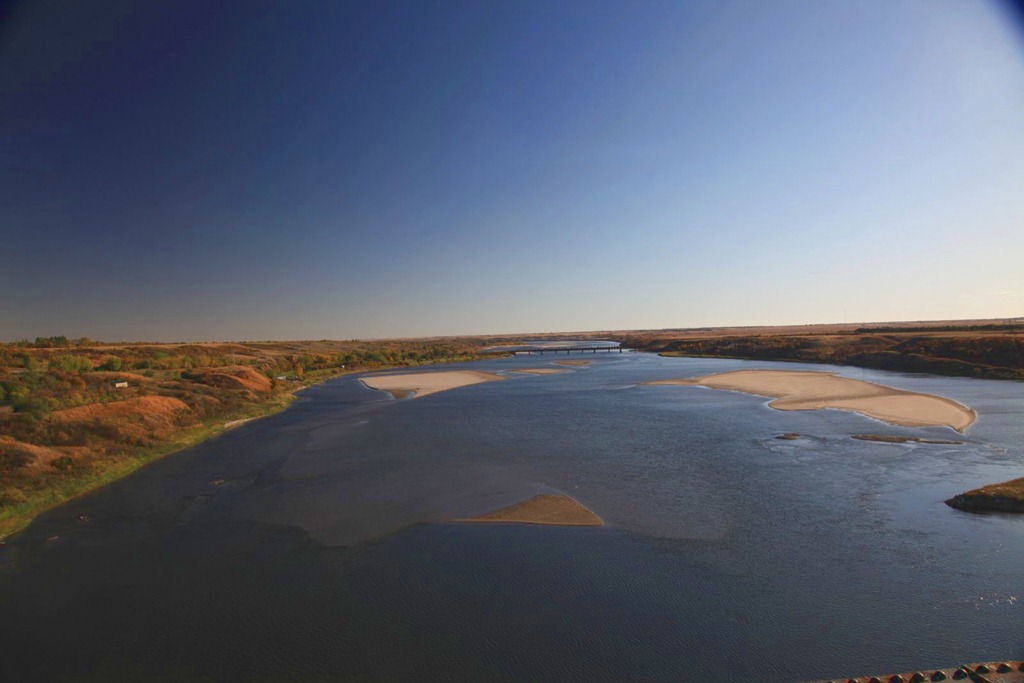
The second was the impressive train bridge over the river valley near the town:

The train tracks have been removed and it’s now the longest foot bridge in Canada – more than three quarters of a mile long. I think it might be part of the Trans-Canada Trail now.
Here’s the view from the town end:
And looking south from the middle of the bridge, towards where I took the first picture:
After that, I just continued on to Saskatoon and got my room for the night.
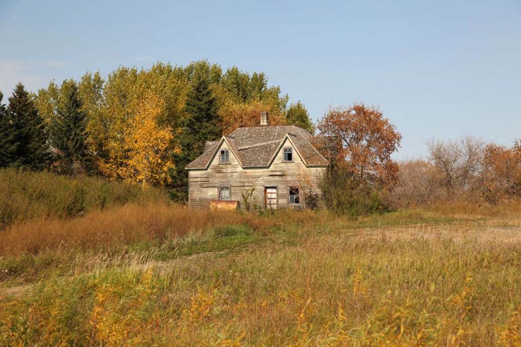
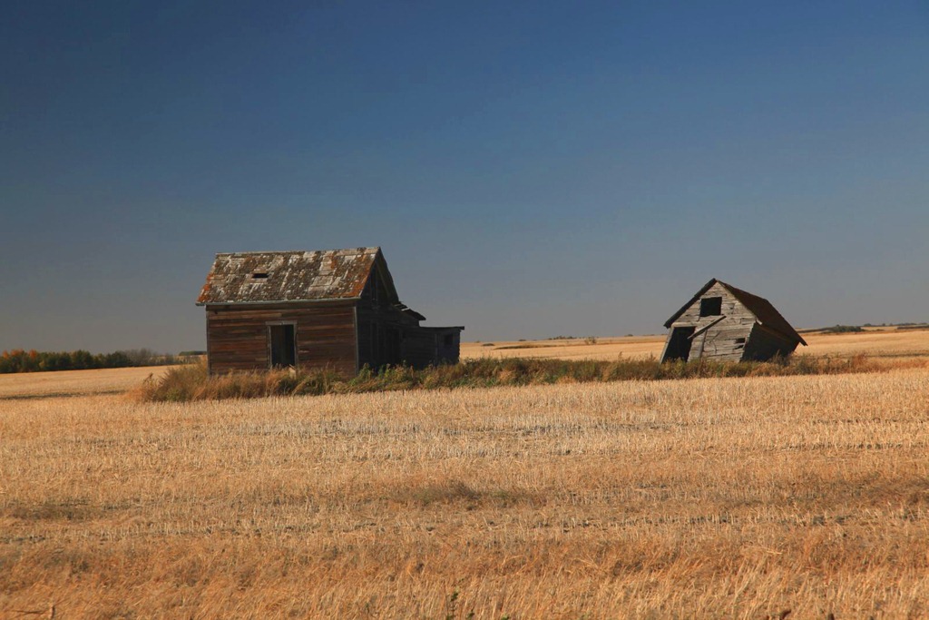
Here are a couple more prairie ruins for you:
[gmap file=”__UPLOAD__/2011/09/20110926.kml” visible=”true” type=”satellite” zoom=”auto” center=”files”]
Back to Winnipeg
2011/09/23
Today I took highway 71 from Fort Frances back up to Kenora, and was back on the familiar Trans-Canada from there to Winnipeg.
I really like the #11/ #71 route from Kenora to Thunder Bay via Fort Frances – it’s much more scenic than the default #17 route, and because it’s slightly longer and slower, there’s less traffic too.
The weather cleared up overnight and it was sunny again today. Because of crossing a time zone boundary yesterday, I was up earlier than usual today, and this sight greeted me out my hotel window:
I don’t think I’ve ever seen the sun so close to the eastern horizon. Does it do that often?
(Oh yeah: Last night after dark, I was able to see lots of stars from my balcony. That was nice – I really miss stargazing.)
Some fall colors from today’s drive:

What are you doing in Canada department:
Destination not found:
When I work on my timelapse movie I’m going to have to put together a collection of amusing signs caught by my dashboard-cam.
When in Winnipeg, I always raid Baked Expectations – since I’m not expecting to be back this way anytime soon, I picked up desserts for tonight and the next two nights (I don’t think I can keep them sufficiently well refrigerated to last longer than that).
For the next two nights I’ll be staying in Wasagaming; taking a driving break this weekend and vegging on the beach. I don’t expect to have Internet access there so there aren’t likely to be any updates until Monday night.
[gmap file=”__UPLOAD__/2011/09/20110923.kml” visible=”true” center=”files” zoom=”auto” type=”satellite”]
to Fort Frances
2011/09/22
Relatively short drive to Fort Frances today. Another chilly and rainy day, though nowhere near as wet and cold as yesterday. Weather forecast looks good for the next few days though, and indeed it started clearing up when I arrived here.
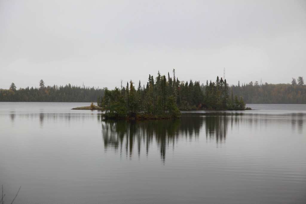
I like this road (#11) better than the usual route between Thunder Bay and Kenora (#17). Much more varied landscape here, and more of the swamps and small lakes with islands that I like.
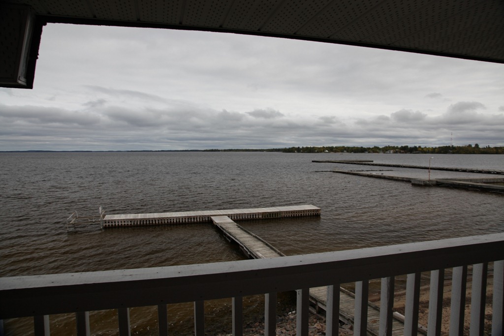
For some reason on my return trip I’ve been having a lot of trouble getting hotel rooms – I thought with kids being back in school, accommodation would be easier to find, but instead the reverse seems true. So now I’m making reservations two days in advance just to be safe – but even so, all the chain hotels here were already booked solid. I settled for a place called La Place Rendez-Vous Resort, which actually turns out to be pretty nice. I have a view over Rainy Lake, and can listen to the waves on the shore right from my room.
Fort Frances seems like a fairly nice town – clean, nice downtown area, lots of large houses with large lots, lots of trees, and a bike path long the lake shore. The only thing that mars it is the huge pulp mill right next to downtown.
[gmap file=”__UPLOAD__/2011/09/20110922.kml” visible=”true” type=”satellite” zoom=”auto” center=”files”]
Back in Thunder Bay
2011/09/21
Wow, today was a long day. 520km in 7 hours – which is pretty good considering it was pouring rain most of the day and I took a bunch of breaks. Luckily the roads were mostly in very good condition and I didn’t have to worry too much about water pooling on them, so I was able to go at the speed limit (90km/h) most of the time.
It was cold and damp. When I stopped for lunch (a sandwich in a picnic area next to a small lake) I had to put my coat and toque on, and my hands still got painfully chilled.
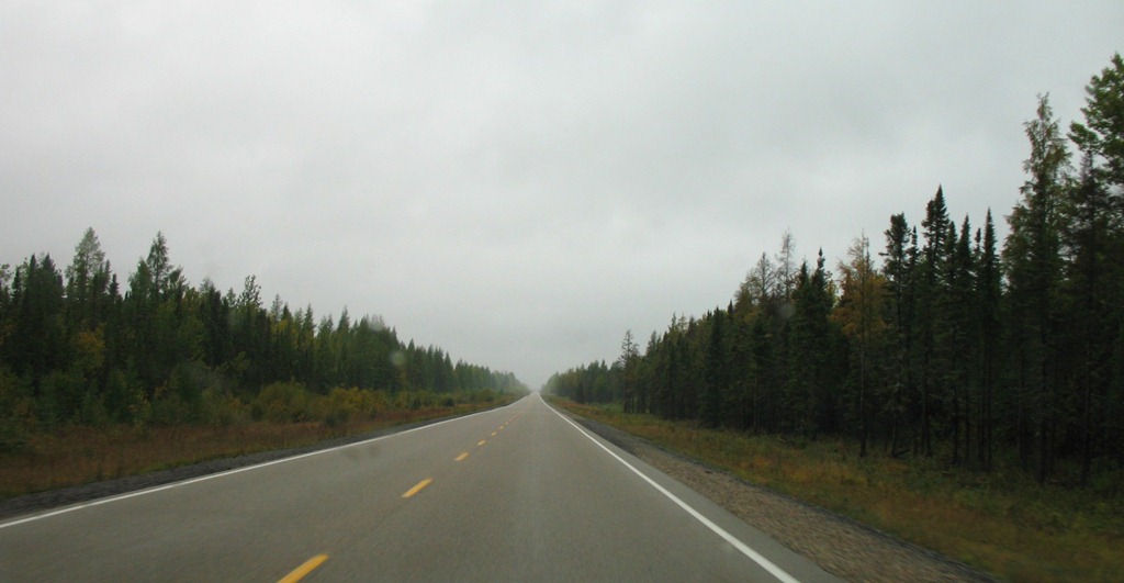
Today I drove through what someone on Google Earth calls “The Big Empty” – a 200km stretch of very straight road with no towns – indeed, almost no signs of civilization at all. Just road, trees and sky for a bit over two hours. Basically this, forever:
There was very little traffic too – just a transport truck every few minutes. The isolation plus the cold and the rain created a little bit of that peculiar Canadian man-versus-elements-and-bleakness feeling that I relish.
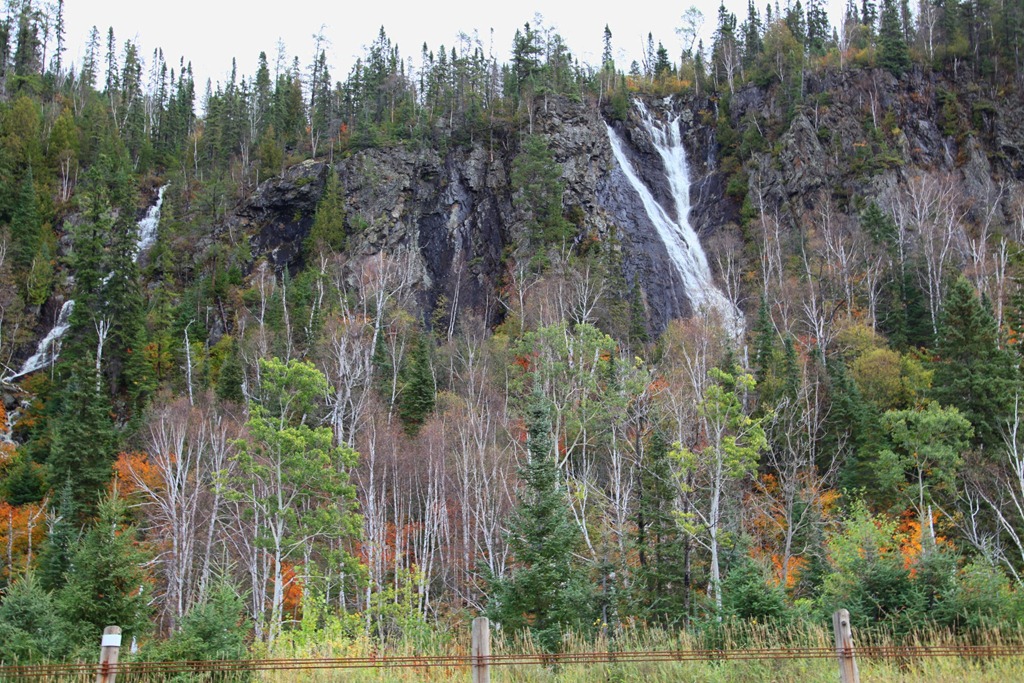
The landscape was still mostly flat until the town of Beardmore, where the road turns south into the Palisades. Between there and Nipigon was gorgeous, especially with the fall colors – actually now that I think of it, just like a bit of BC dropped in the middle of Ontario. And with the heavy rain, the many waterfalls were in full bloom:
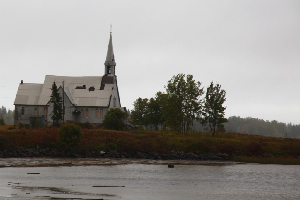
Spotted this abandoned church in the town of Longlac (which is at the tip of a very long lake indeed):
I have actually seen lots of abandoned buildings in Ontario, and yes, shame on me for not taking more photos of them. But for the record, if any of you UrbEx photogs want to get out and see them: I saw a lot of abandoned motels and gas stations between Sudbury and Barrie, and quite a few abandoned houses along the road between Cochrane and Hearst.
Fall colors are out in force now – too bad today offered little chance to shoot them.
[gmap type=”satellite” visible=”true” zoom=”auto” center=”files” file=”__UPLOAD__/2011/09/20110921.kml”]