More Calgary
2011/09/29
Started off the day with another breakfast at Peter’s Drive-In – can’t get enough of the place. I will be doing the same tomorrow before I leave town.
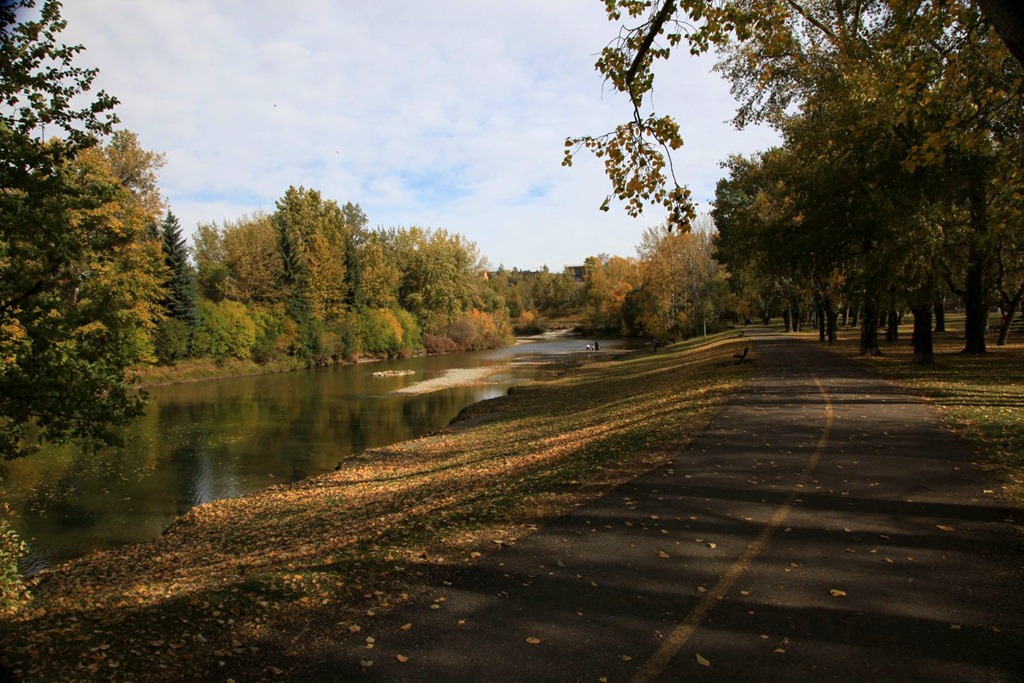
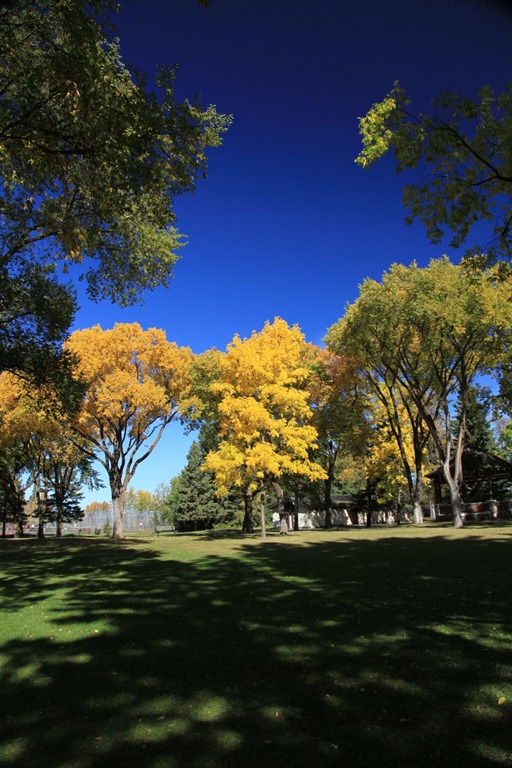
Since I was nearby, I dropped by Calgary’s Stanley Park – a small park on the Elbow River. We used to come here often because it has a convenient location by both road and bike path (Calgary has the best bike path system of any city I’ve been to), and it’s a great place for kids to cool off in the summer since there is both a pool and a shallow river to play in.
Did some book shopping at a couple of Fair’s Fair locations, then hit the Lego store again as compensation for forgetting to visit the one in Toronto when I was there.
Hung out with friends again in the evening, and saw another deer on the way to drop Frink off at home in the evening. Also got some good ideas for sprucing up my home network when I get home.
Chinook Mall in Calgary is almost unrecognizable now versus what it was when I was a kid or even when I last lived in Calgary. It’s a lot bigger now, walls have moved around, and I think almost every store is different both in identity and in boundaries, but some parts of the gross shape of the place are still there if I look at them right.
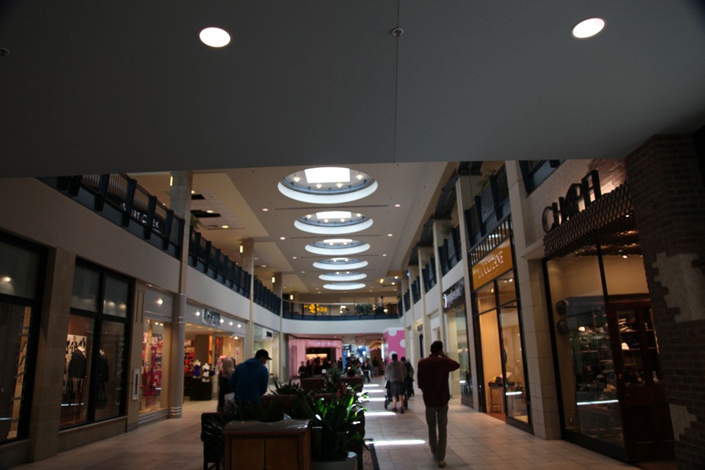
The upstairs area around this opening in the second floor used to be the food court. It was here that I ate my last ever meal from New York Fries – it had a weird taste that turned out to derive from the inclusion of a deep-fried, partially smoked cigarette.
At the end of that food court was once the theater where I saw Tron about four times during its first run, and then later a Playdium-like arcade. The latter was during the time I worked as a stock clerk in the Safeway grocery store that used to be just past where the Bell store is in these photos:

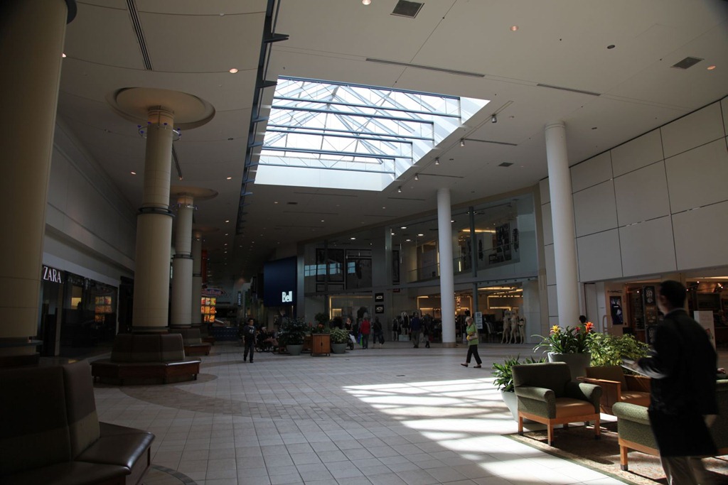
On the right, where The Bay is now, was once a Woolworth’s where I used to hang out in the video game section drooling over the latest Atari 2600 and Intellivision games, or drooling over the Lego sets – this is where my parents bought me most of my favorite Lego sets, including the never-surpassed LL 928.
Also around this area was the Radio Shack outlet where, firstly, my parents bought me a Casio VL-Tone to see if my interest in music was sufficient to warrant more development (it was), and later where just by chance I happened to be there when the clerk had one of the record players playing Kraftwerk‘s The Man-Machine, which totally captivated me – finally, music that actually sounded interesting! I insisted my parents get me that record and anything similar they could find, and the rest is an integral part of my history.
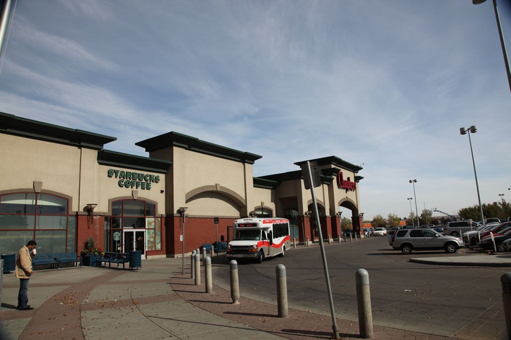
Outside the south end of the old mall (it goes further now due to the new theater), roughly where the Starbuck’s is now, was an instance of the Wizard’s Castle arcade chain (this is when I was a kid). This was probably the arcade I spent the most total hours in, as my parents would park me here with a roll of quarters while they did the grocery shopping. This is where I first saw Pac-Man, and played a lot of Missile Command and Boot Hill. It’s also where I learned that some people have inexplicable temper problems, as one guy punched a hole in the Missile Command screen. There were other games that I played but I don’t recall what they were. Elsewhere in the mall were Battlezone, Omega Race, and later on, Donkey Kong. But when quarters were short I got a lot of mileage out of playing the home system demo units in the department stores – oh, and I believe the Sears location in this mall is where my parents bought me my first home system, the Atari 2600.
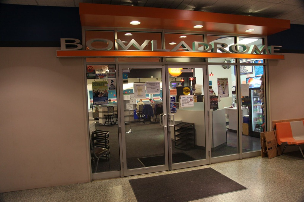
One part of the mall has not changed at all – the downstairs bowling alley we sometimes used. The public library that was also in the mall basement is now gone though.
[gmap file=”__UPLOAD__/2011/09/20110929.kml” visible=”true” type=”satellite” center=”files” zoom=”auto”]
Back to Calgary
2011/09/28
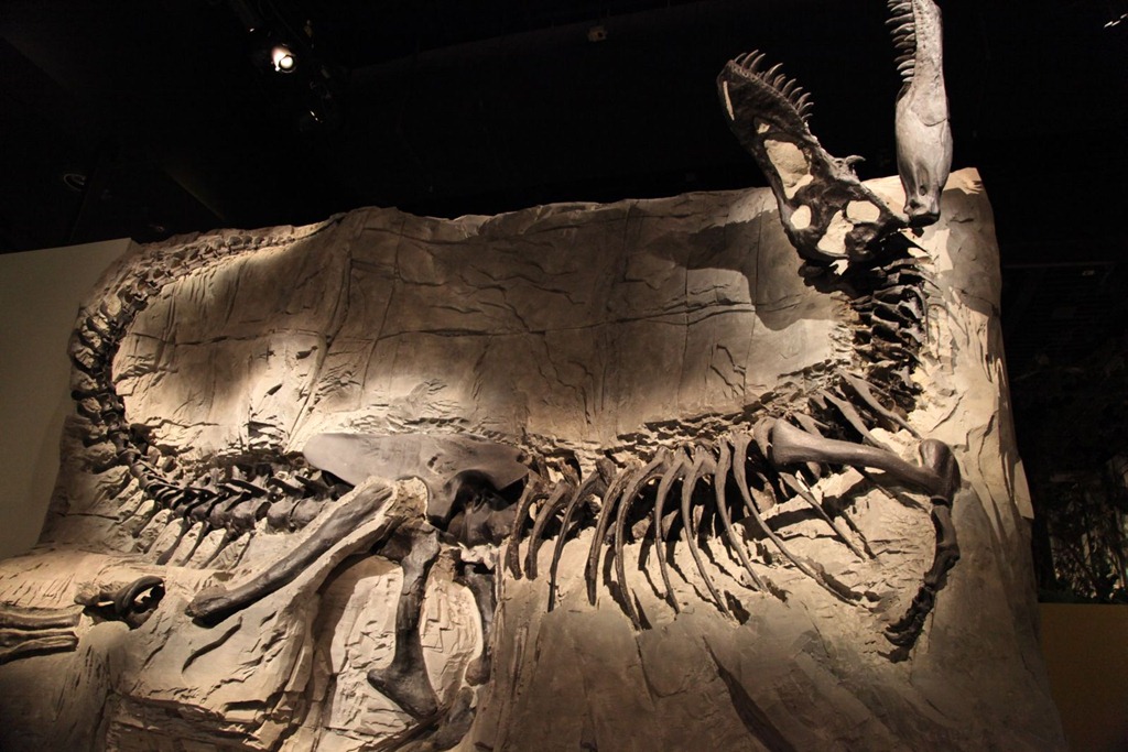
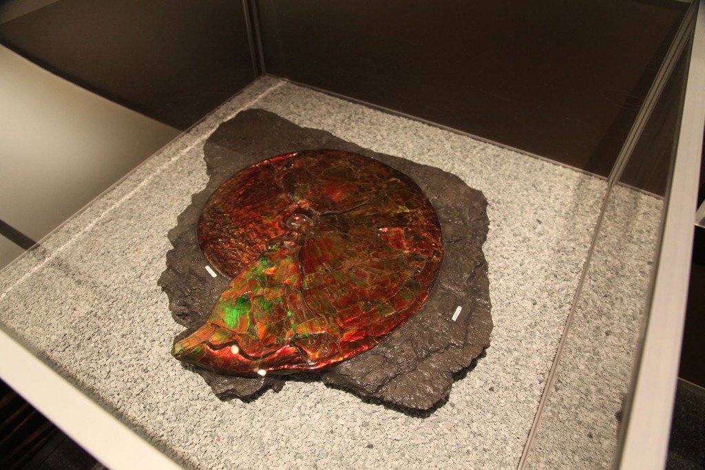
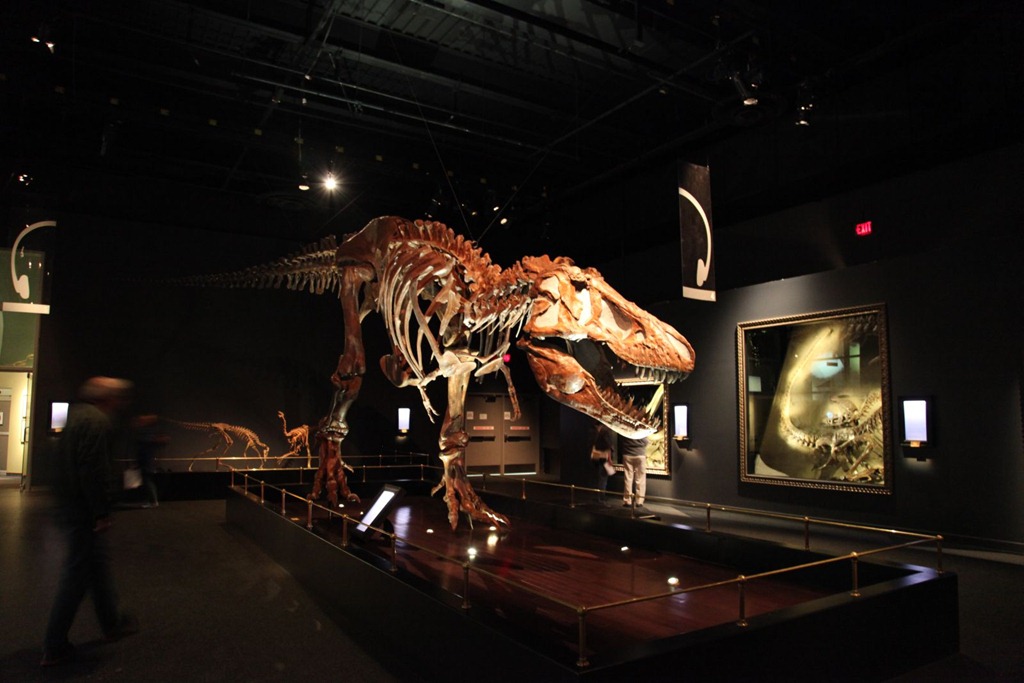
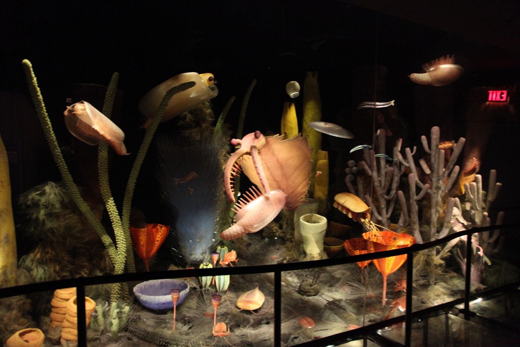
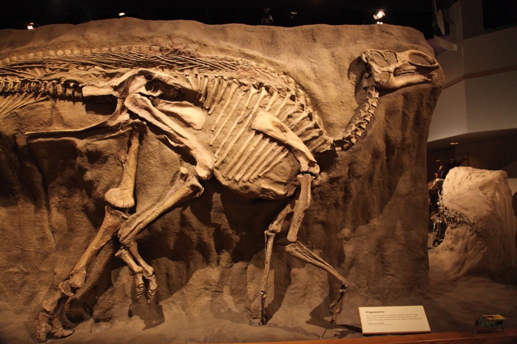
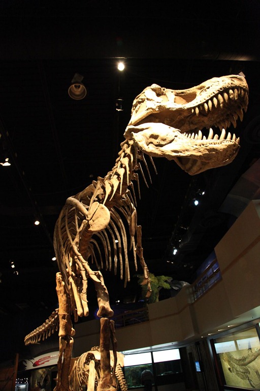
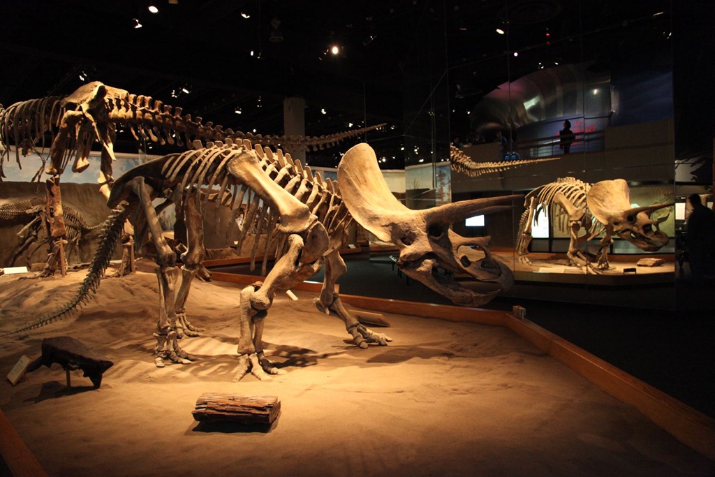
Started the day with a visit to the Royal Tyrrell Museum in Drumheller. I was just there a few years ago, but it’s an excellent museum and worth revisiting, and as it turns out they did change a few exhibits since my last visit. A few pics:
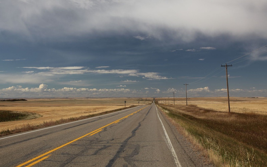
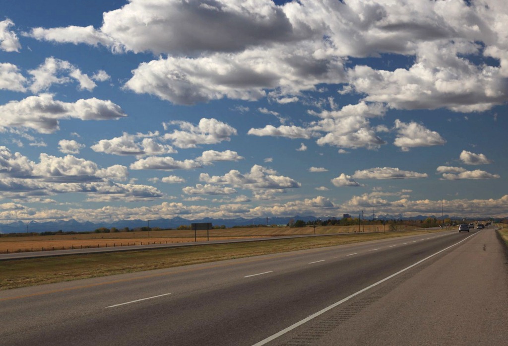
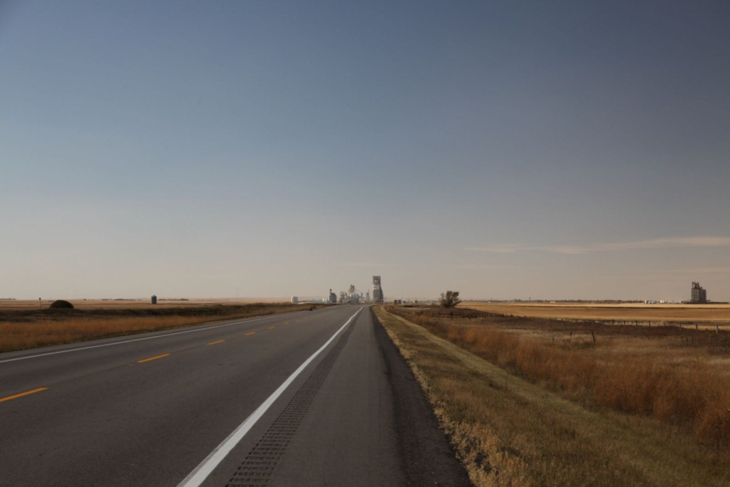
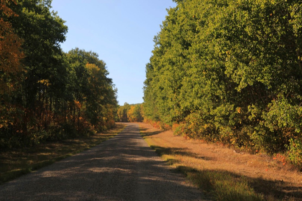
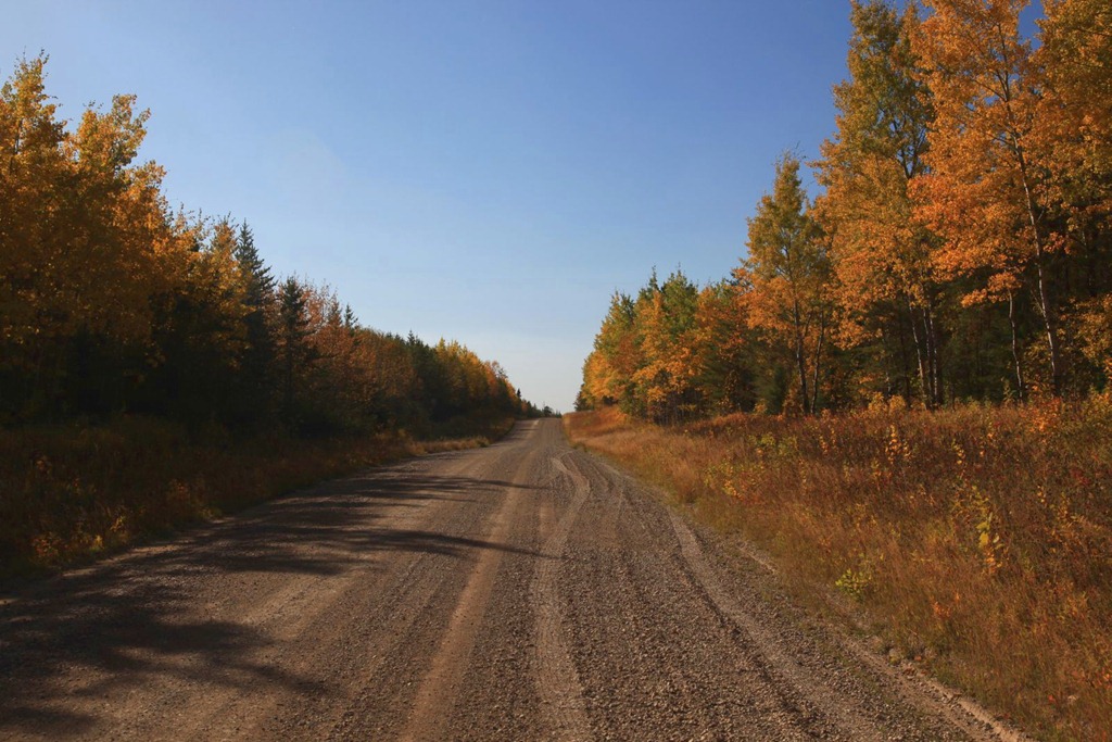
Then a short drive to Calgary (via a favorite back way that has very little traffic).
Another new thing since last time: a large wind farm just south of the Drumheller canyon. This dash-cam photo only shows three out of at least twenty giant windmills dotting the hilltops along the road:

Highlight of the drive was catching sight of the mountain silhouettes before I had even reached the outskirts of Calgary:
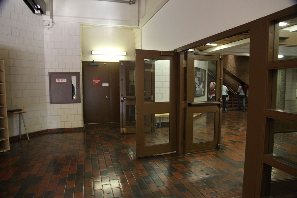
Got my room, then went to pick up Frink from Mount Royal – where I started my Comp Sci undergrad (it was only a college back then). Wandered around the campus a bit taking pictures. Dropped in on the CS department – the only faculty member I knew who was present still remembered me 15 years later, which was a nice surprise.
The Mount Royal campus has changed slightly since I was there. Mainly in the addition of new buildings outside the sprawling central one. But also some internal changes. One of my favorite study areas is gone, replaced with more walled-in rooms.
This wall used to be all full-height window, and looked in on the tech services department that I worked in, repairing computers, when I was a student there:

Although this was actually before I was a student here, there used to be a small arcade beside these stairs in the phys ed wing. It’s the only place I’ve ever seen a Robby Roto machine, and got to play it after years of wondering about screenshots in Electronic Games magazines:
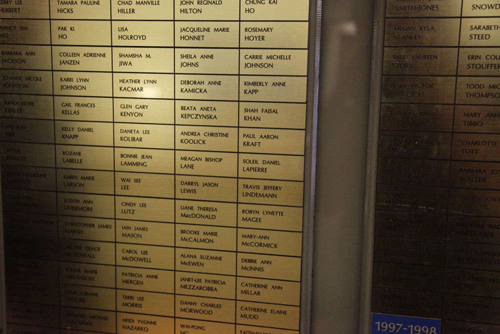
But my high scores are still up on the board – my President’s Honor Roll plaques from the two years I was there:
After that, went looking for the place I had planned to buy new tires for the Slaywagon, but it appears to have gone out of business. Did some book shopping, then met Sean and Bud for sushi downtown and had some good conversation for a few hours.
Drove Frink home after that, and nearly hit a deer on the road. For days now I’ve been internally grousing that I haven’t seen any moose on this trip (on previous trips we’ve had close encounters with meese in northern Ontario and in Riding Mountain Park), and here I nearly intersect a deer right in the big city.
[gmap file=”__UPLOAD__/2011/09/20110928.kml” visible=”true” center=”files” zoom=”auto” type=”satellite”]
to Drumheller
2011/09/27
I had originally planned a one-day layover in Saskatoon, as there were a number of museums I was interested in seeing. Unfortunately the must important one, the Saskatchewan Railway Museum, is already closed for the season. So I decided to only stay for one night, and start the day with a quick visit to the Saskatoon branch of the Western Development Museum.
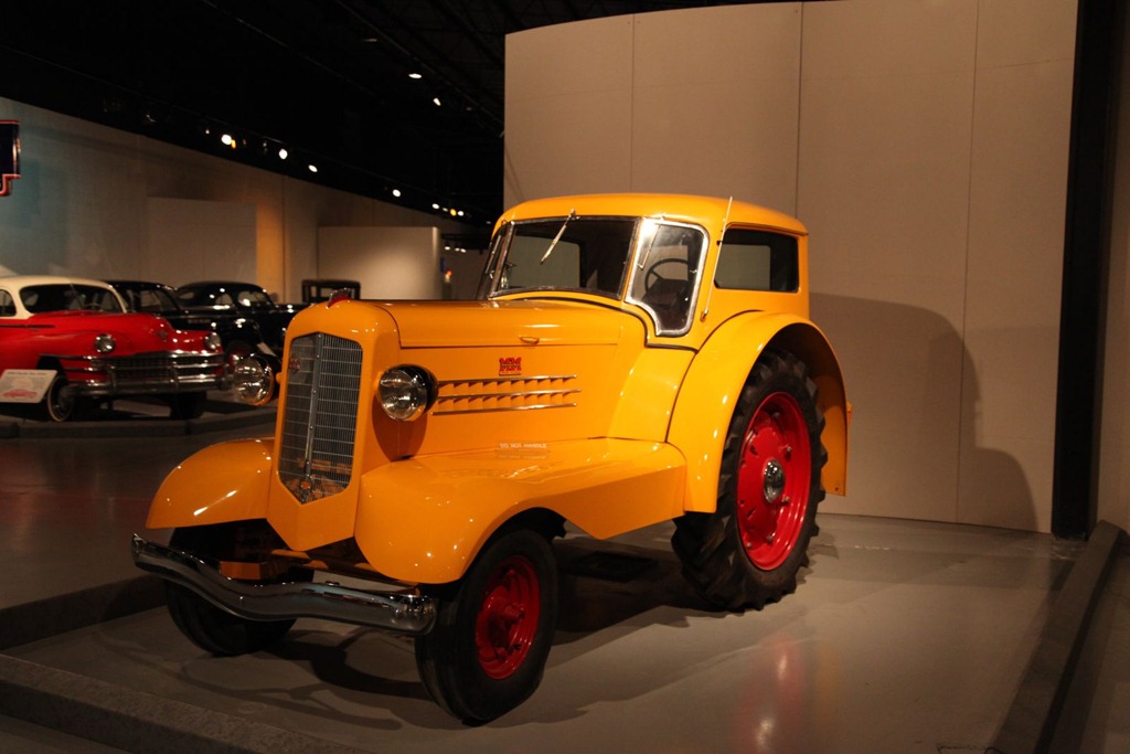
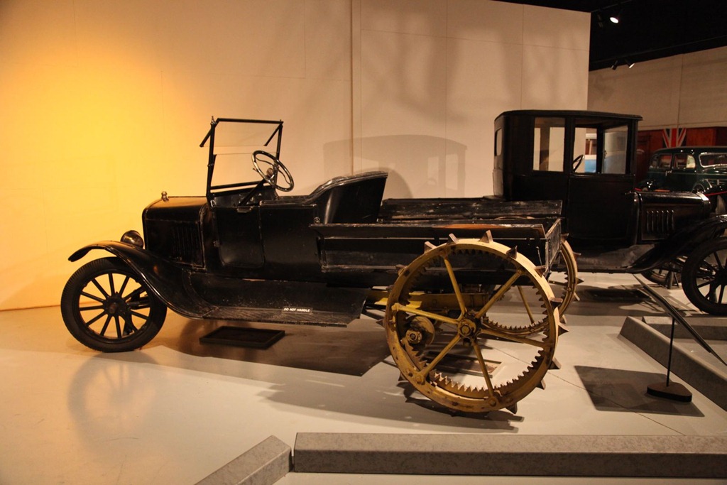
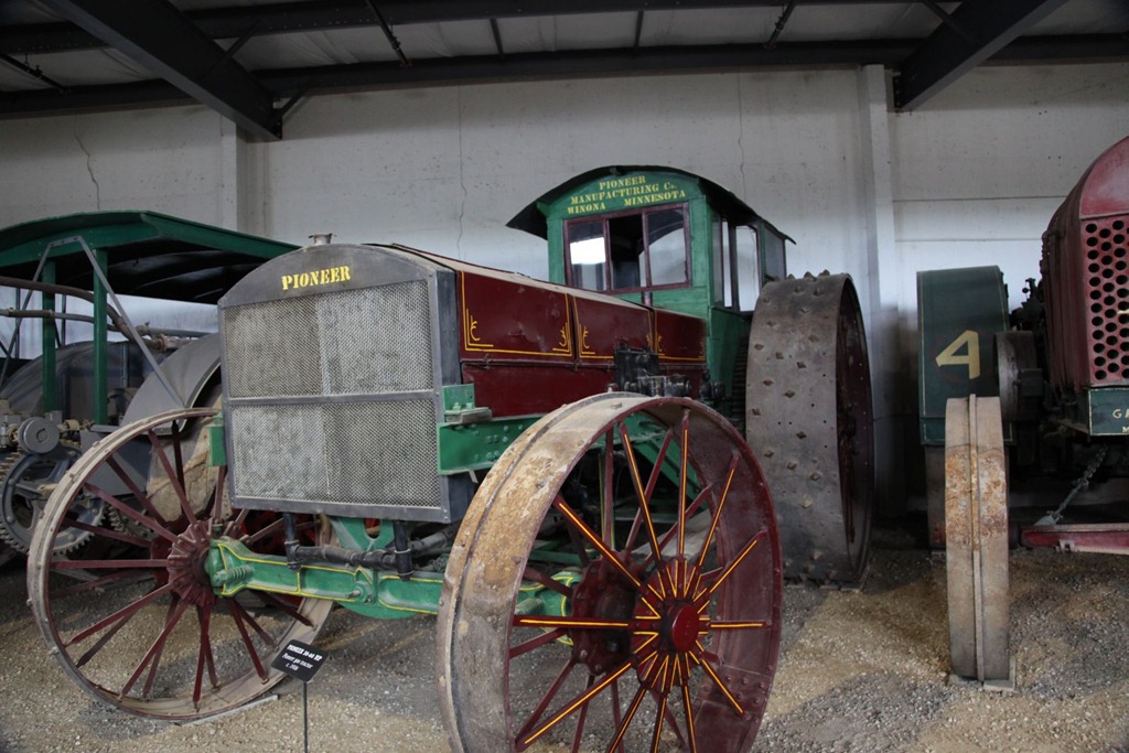
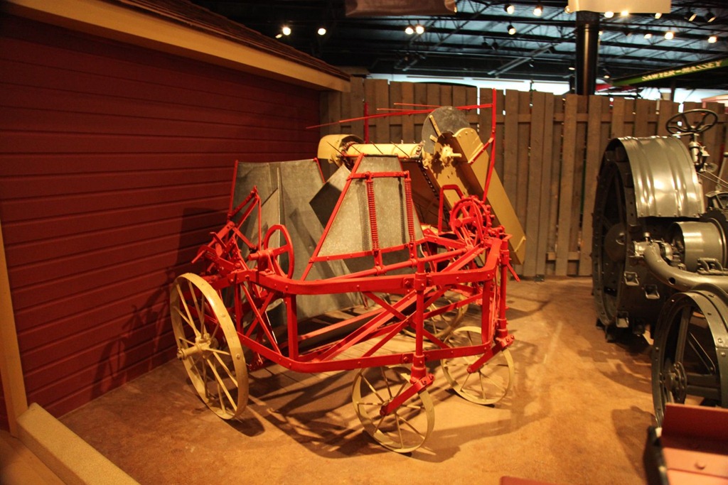
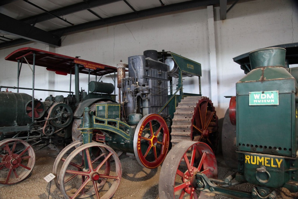
It’s a decent museum. I was most impressed with their collection of freakish antique farm equipment, many of which I hadn’t seen before.
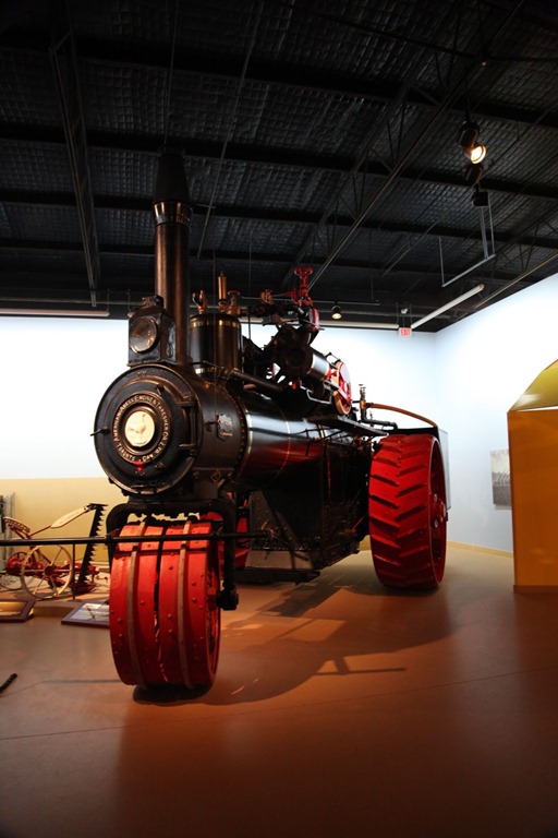
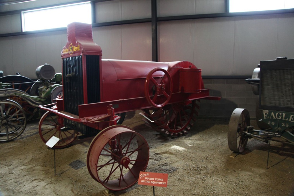
Luxury tractor – unpopular because it cost twice what its competitors did, but it did sell because it had headlights, which enabled working at night:
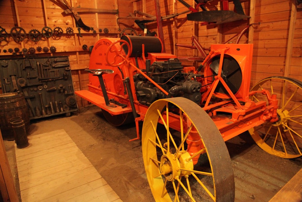
Tractor conversion kit for early Fords – flopped because the car didn’t have enough power, even with the gearing-down this kit applied:
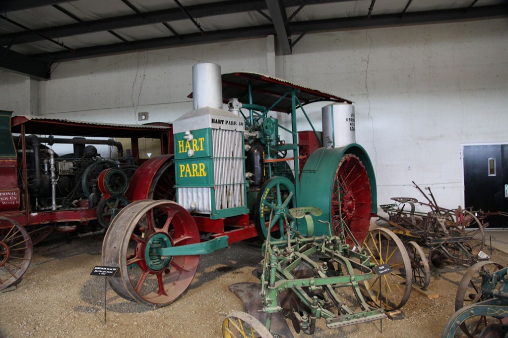
This thing is freakin huge. Not even the modern 12-wheeled tractors they use in the mud near Winnipeg are this bulky:
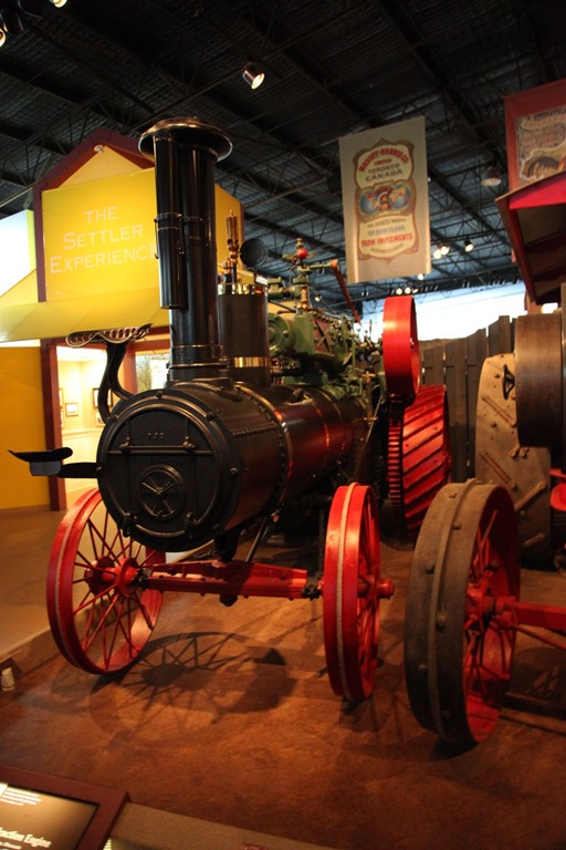
This contraption (a Saskatchewan invention, I think) was for stacking and binding cut hay. There was a contract to mass produce it, but production was stalled by the Great Depression, and when that was over the modern type of combine had been invented and the job this machine did was no longer relevant:
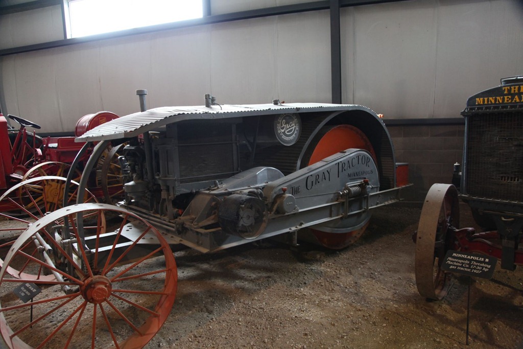
More random machines:

“Why?” department: Of all the representatives you could have chosen…
After the museum, drove to Drumheller. Long drive, but not as bad as yesterday.
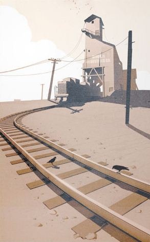
This scene:
I snapped because it reminded me of this Valve concept art:
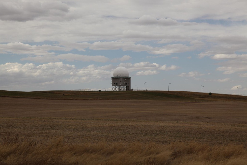
And here’s the government mind control device near Alsask:
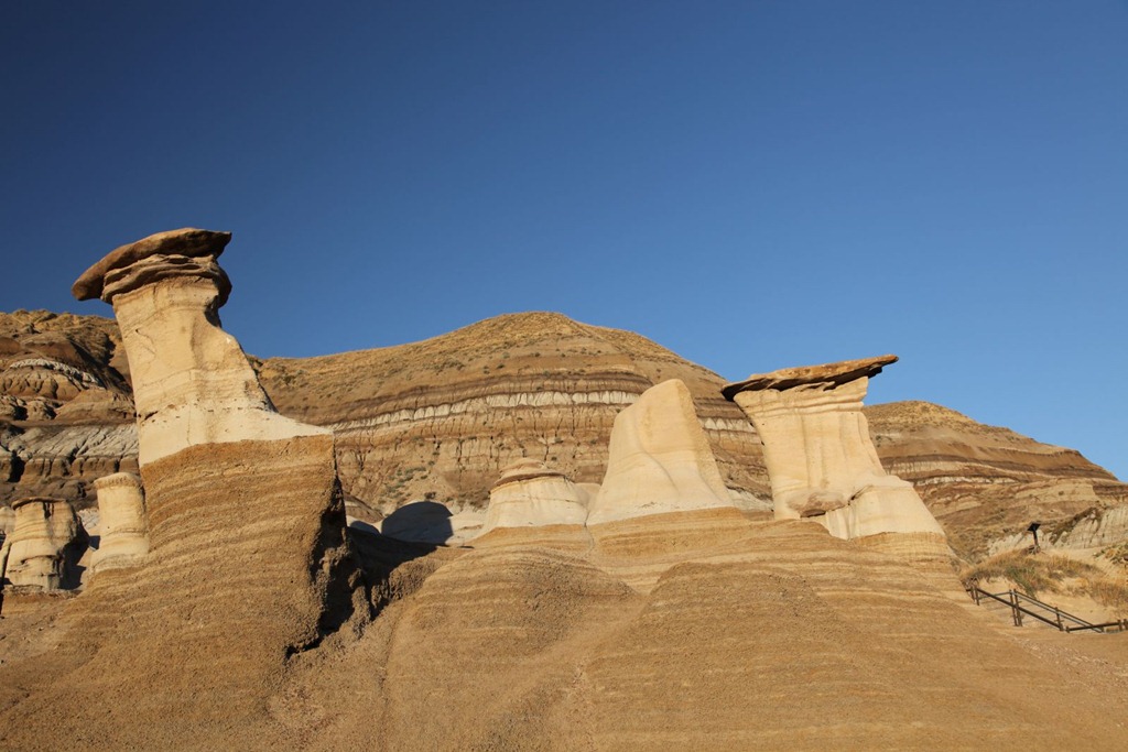
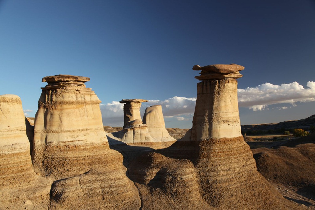
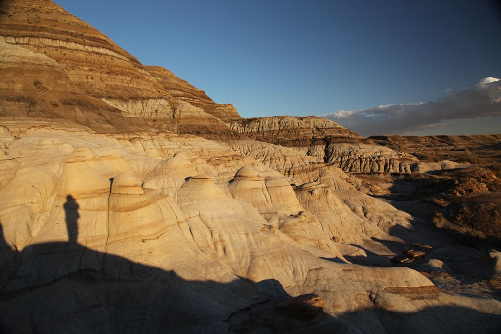
And of course, you can’t go to Drumheller without visiting the hoodoos. This must be at least the eighth time I’ve been here:
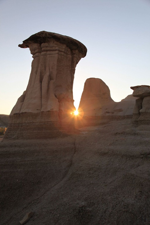
My self-portrait for today:
[gmap file=”__UPLOAD__/2011/09/20110927.kml” visible=”true” zoom=”auto” type=”satellite” center=”files”]
Middle Manitoba
2011/09/24
Today I took a little detour up to the region between Lake Winnipeg and Lake Manitoba. There was a property advertised for sale there in Dignam’s, and since it’s only an hour’s drive from Winnipeg I thought it might be worth checking out.
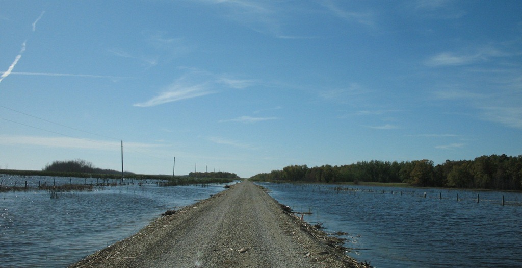
The land was advertised, if I recall correctly, as having a significant portion of marshland, possibly suitable for birdwatchers. Well, I couldn’t even reach the property as all approaching roads were closed due to flooding. I tried driving this one despite the water lapping at the edges of the road, but it got me no closer:
So, not being able to reach the property because of water, I’ll have to assume the bit about it being marshy is true.
If it floods like this in the fall, I hate to think what spring must be like. I know Manitoba suffered uncommon flooding this year, but I also know uncommon flooding is common for the flat part of the province. Scratch this area off my buy list.
Since I was in the area, I decided to check out nearby Delta Beach and St. Ambriose Provincial Park. My mother and I camped here once, and all I remember about it is that the park was filled with incredibly dense clouds of mosquitoes. I thought it would be nice to see the big lake too, but all approaches were closed due to flooding, and indeed most of the houses in St. Ambroise were sandbagged. Not a good sign.
Continued on via back roads to Riding Mountain National Park, where I took the less-used east entrance – it’s a rough gravel road, but really beautiful. Especially in the fall:
Here’s the view to the northeast from the top of the escarpment. Riding Mountain is very high for the prairies.
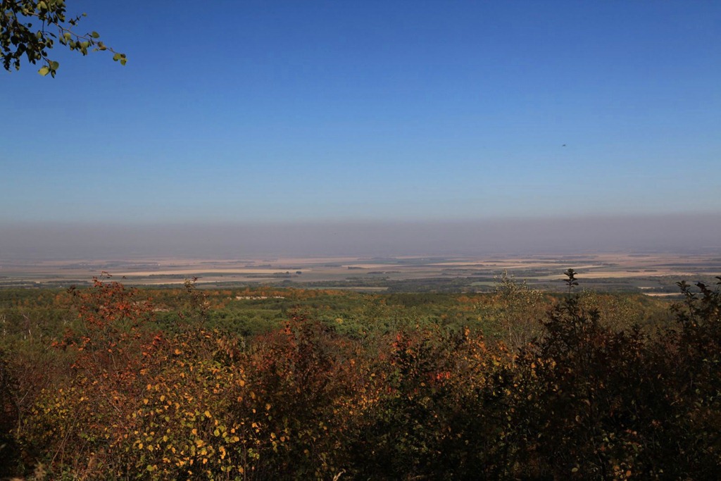
I think the purple haze in the distance is from farmers burning stubble.
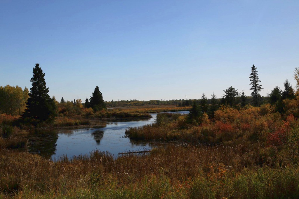
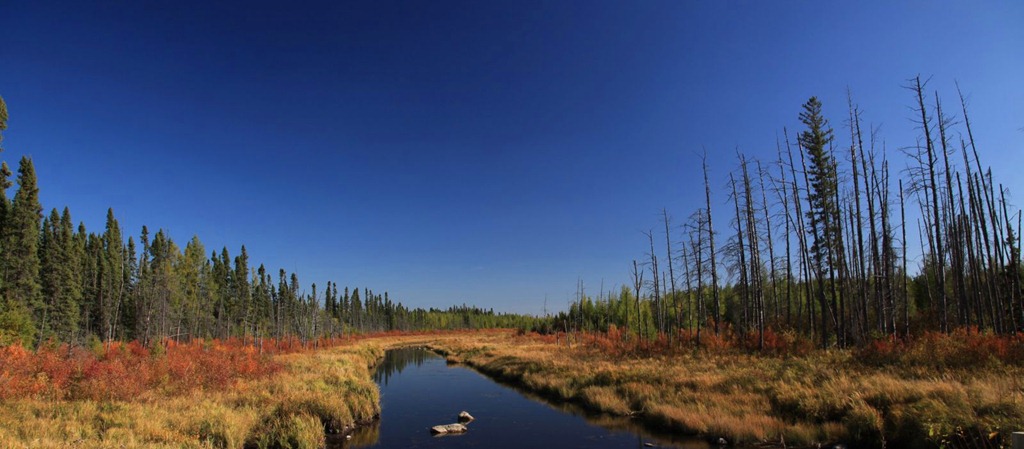
Riding Mountain is where I learned to appreciate the potential beauty of swamps. They look best in the fog, but here’s a couple anyway:
I’m staying in Wasagaming for the next two nights – taking a one-day break from driving. I plan to mainly sit on the beach and read my book. Here’s the nice little cabin I have to myself:
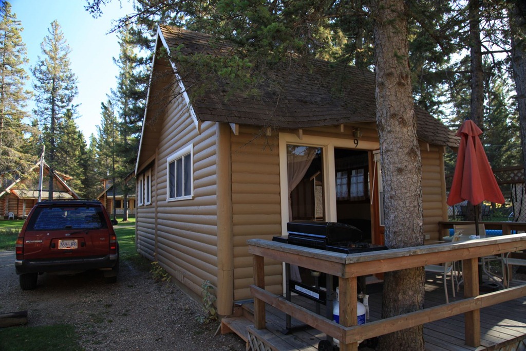
It’s not quite as fancy as the place I like to stay at Long Beach, but it’ll do in a pinch.
I was hoping to see a movie tonight in Wasagaming’s unique log theater, but unfortunately it’s closed for the season.
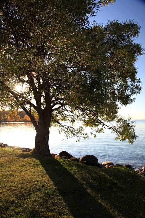
After sunset I sat on the beach and watched the stars come out. That was enjoyable.
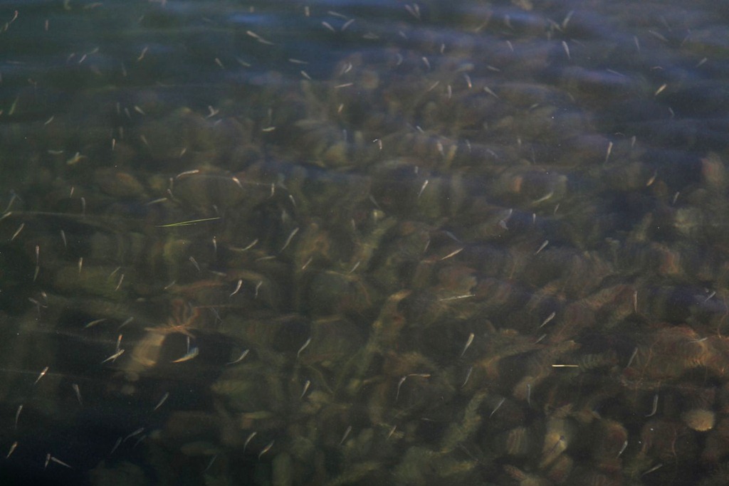
Minnows minnowing in the lake:
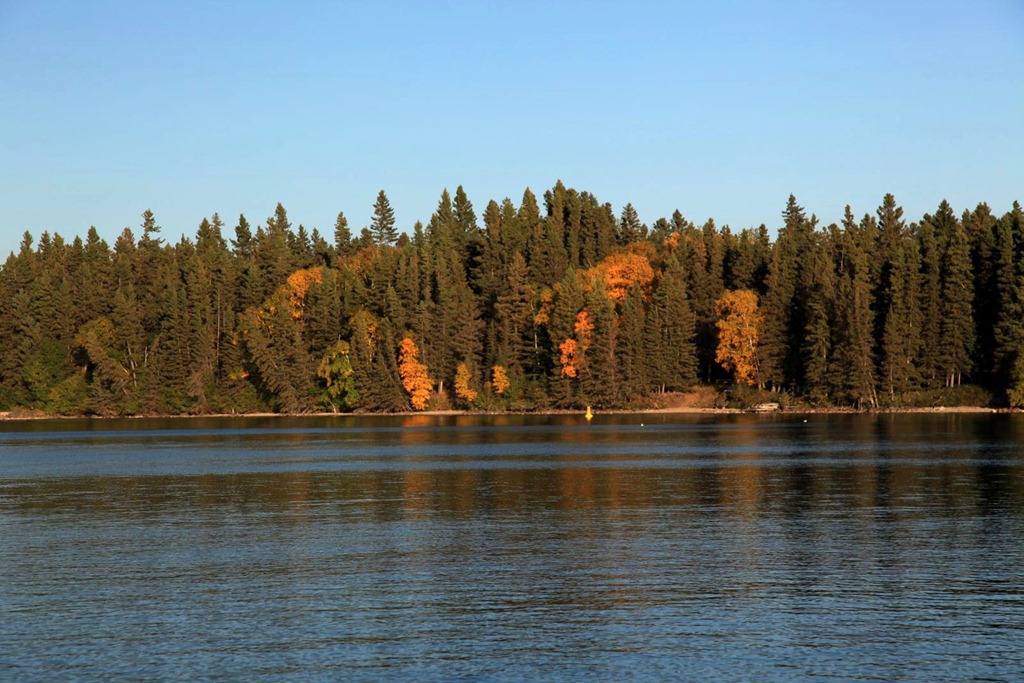
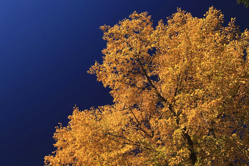
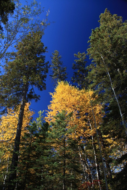
Some more fall color shots:
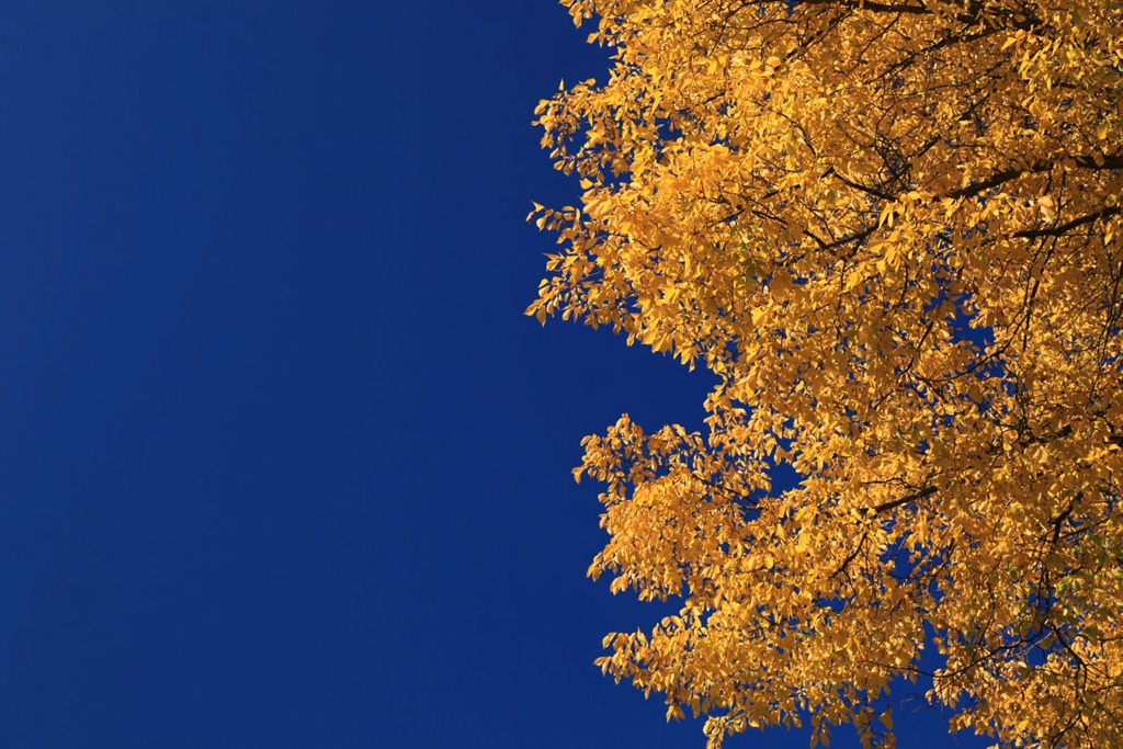
Generic beauty shots:

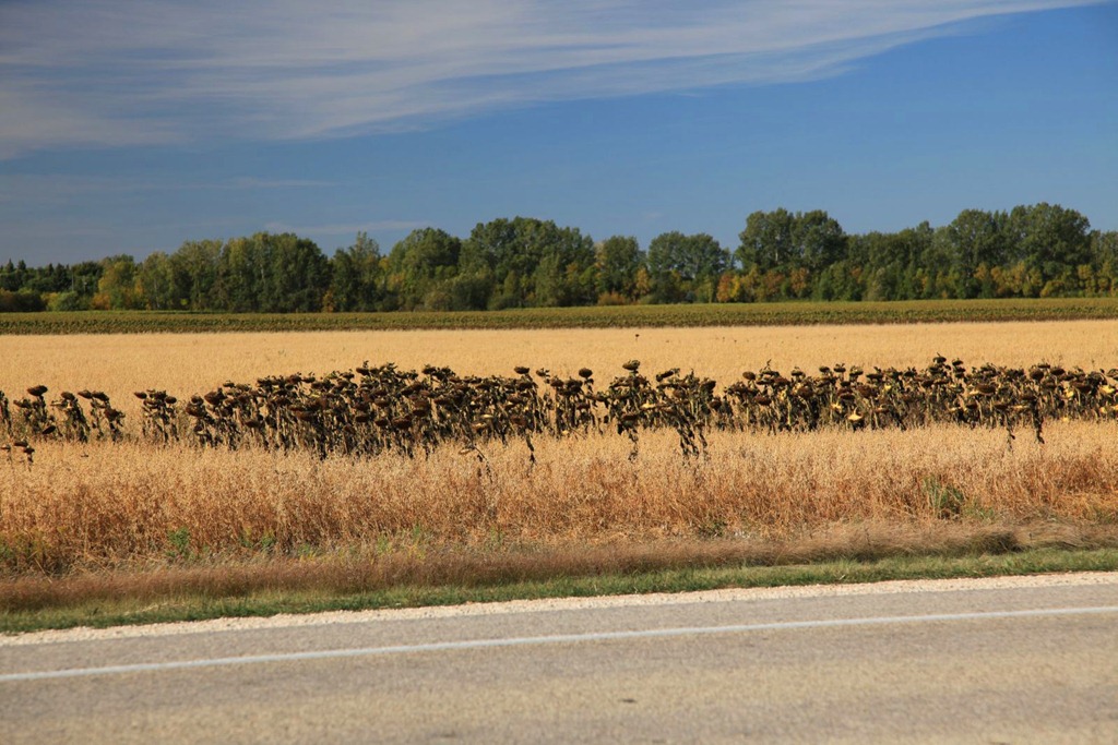
From earlier in the day, a field of mixed wheat and drying sunflowers. I think the sunflowers are the crop here – that green in the background before the trees is also all sunflowers. Not sure why there is also grain here – maybe to distract birds from the sunflower seeds?
And a couple shots of abandoned buildings:
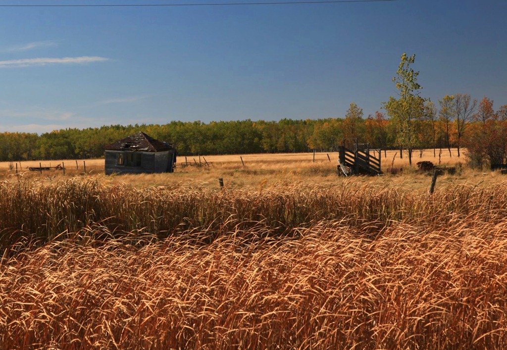
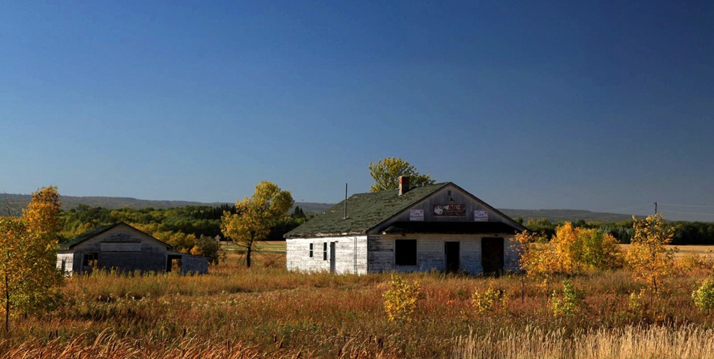
(That’s Riding Mountain in the background of the last shot; this building is right at the junction of #5 and #19, the road that goes into the park from the east.)
Passed through the town of Neepawa on the way – it’s a very nice town. I’m impressed with how pleasant it is, and despite appearing quite small it somehow supports a Safeway, a Co-Op and a McDonald’s. I also generally like the landscapes in and around Riding Mountain. Too bad there’s no major cities nearby; I’d go crazy with boredom living in this area.
[gmap file=”__UPLOAD__/2011/09/20110924.kml” visible=”true” type=”satellite” center=”files” zoom=”auto”]
Wasagaming and Clear Lake
2011/09/25
Today was a mini-vacation – a break from driving, at one of my favorite places, Riding Mountain National Park – specifically the town of Wasagaming, which is on Clear Lake.
Had breakfast at the aforementioned restaurant that turned me off milk for two years – decided to give them a second change, decades later – and it was not bad. I didn’t have any milk though.
After that, I went and walked around the campground for a bit. We used to camp here frequently in our Manitoba days. I don’t have many specific memories of it, but still a general feeling of happy nostalgia washed over me while I was walking around. Plus it’s beautiful. Here’s what a typical campsite looks like:
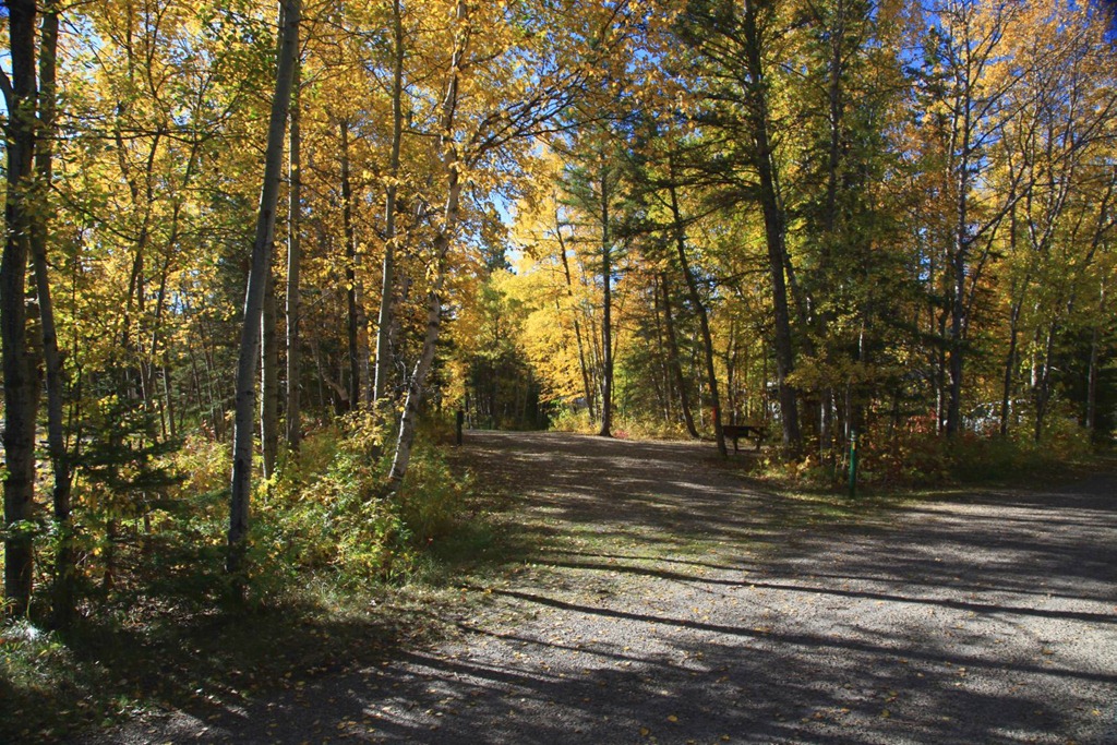
Lots of room, a picnic table and fireplace, and enough trees between sites to give a bit of privacy. The sites are all open at both ends onto roads that look like these:
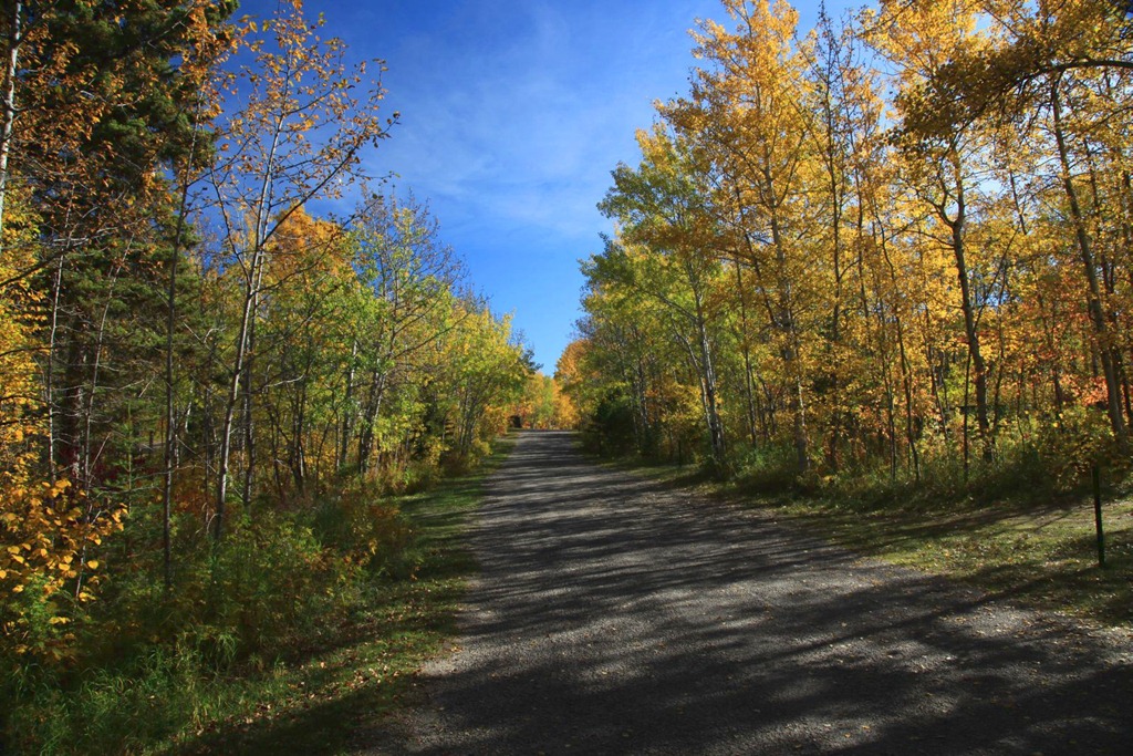
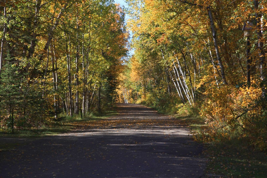
If you’re camping here, the preferred way to get around and go into town is by bicycle, but it’s an easy walk too.
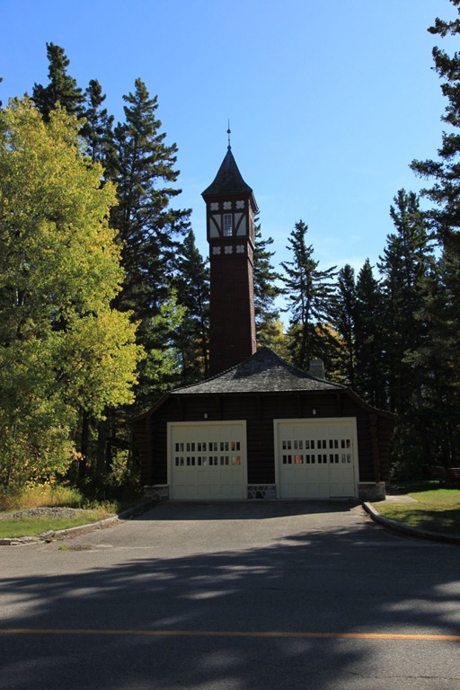
I walked around town a bit. Here’s the old firehall:
And I went back to the favorite ice cream parlour and bought the favorite ice cream – two scoops on a double cone:
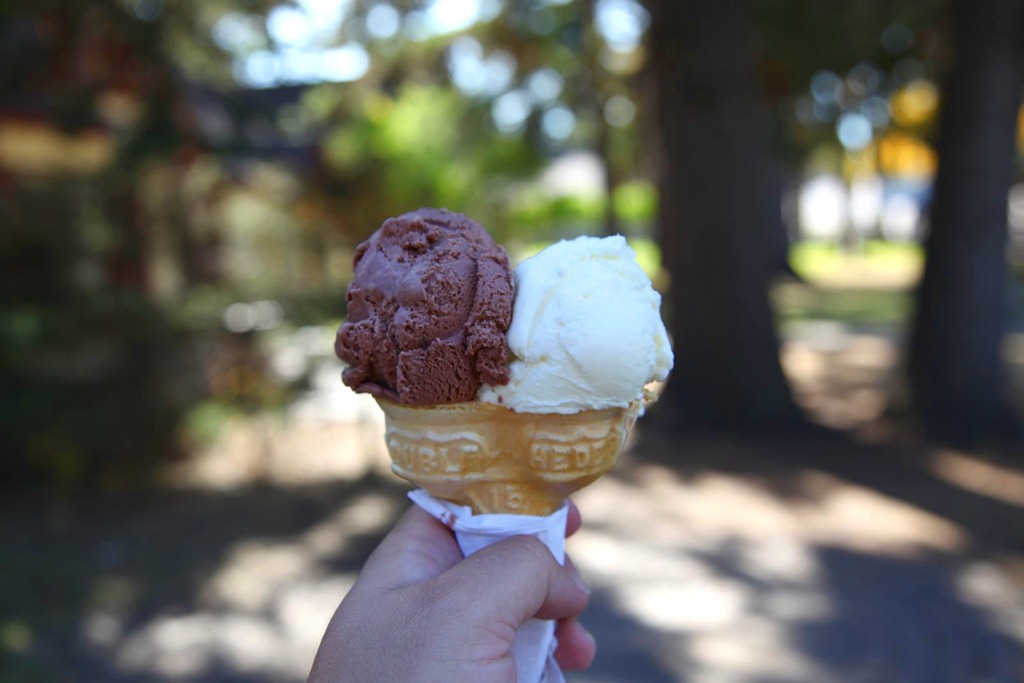
As a kid I was amazed by these weird mutant double-headed ice cream cones, and wondered how they made them. Seldom saw them anywhere else so I still associate them with Riding Mountain.
By accident I discovered an old memory. This purple martin birdhouse:

inspired me as a child – I wanted to make birdhouses all fancy like that. When we got back to the farm I did build some birdhouses, some of them multi-story, but they didn’t turn out quite as fancy as this. :)
My main mission for to day was to sit around near the beach contemplating my cross-Canada road trip, what it means to me, and what I want out of life.
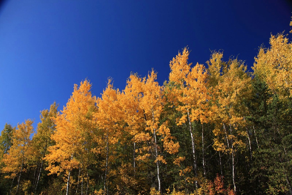
To that end, I spent some time lying down on a picnic table, watching the breeze rustle the leaves on these trees:
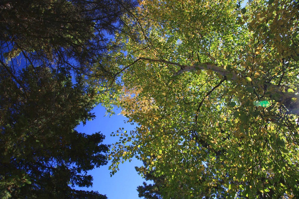
Which is a really relaxing thing to do – I can’t recommend staring up at trees enough. Might want to wear glasses though to keep falling things out of your eyes.
I also went out onto the jetty next to the beach, and sat here for a while, thinking:
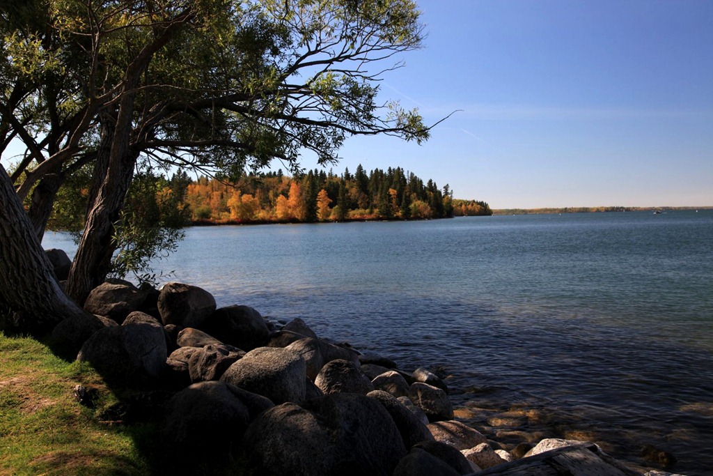
Watching the wind raise ripples in the water, and the jetty shape interference patterns in the ripples, was also relaxing.
I was finally starting to get into this whole thinking thing seriously when a hornet crawled up my shirt and bit me on the chest. OUCH! I haven’t been bitten by a mandibled insect since I was a kid and I forgot how much it hurt. I rushed back to my room to disinfect it and see if there was a stinger present – no, but it swelled up a fair bit. By the end of the afternoon the swelling was gone but the bite still stung.
That kind of interrupted my chain of thought. I went and sat near the beach again, but kept getting interrupted by more bugs crawling on me, so eventually I gave up on trying to get any serious thinking done today.
Still, it was a nice day off from driving and I definitely did get some good relaxing in. From here it’s the home stretch back to Vancouver, with a brief stopover in Calgary, and then my road trip will be done.
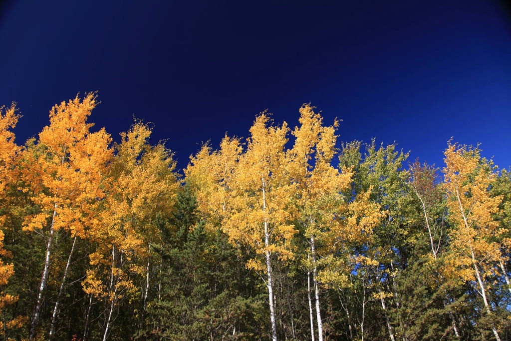
More fall color photos:

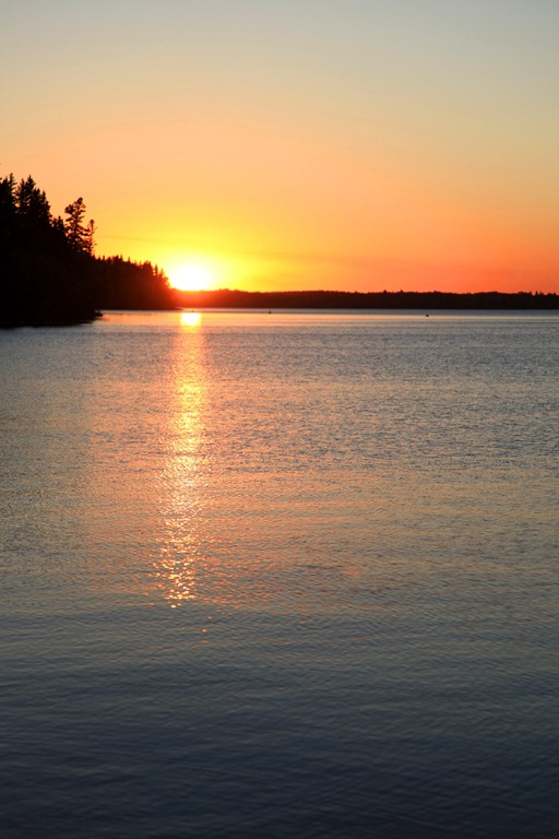
At the end of the day, I went back out to get some sunset photos – nothing spectacular due to lack of clouds, but it was nice.
[gmap file=”__UPLOAD__/2011/09/20110925.kml” visible=”true” type=”satellite” center=”files” zoom=”auto”]