Long Beach vacation day 7
Friday October 16, 2009.
Today was going-home day.
It seems there was a mild storm last night; I was awakened several times by the noise of the wind-driven rain beating on the roof, and on the highway I passed a couple of cleanup crews dealing with fallen trees and road floods due to blocked drainage pipes.
Went back to The Schooner for breakfast (not bad, but the portions were small for the price). Also went back to The Common Loaf to get some snacks for the road, and was shocked to find an item they called “No-Bake Cookie” that is almost identical with my family dessert recipe we call “Fudgies”. I got one for comparison – yup, perhaps a little sweeter but the same stuff. Now I need to ask my parents about the origin of the recipe.
Made a brief stop at Long Beach again to get a last whiff of sea air, then hit the road.
The road between the coast and Port Alberni is a bit dangerous. I wouldn’t say it’s as twisty or scary as that infamous stretch near Golden, but it does twist up and down as well as left to right, making visibility very poor. The twistiness goes on for a much greater distance as well, and there is one point where the road really narrows – sheer drop on one side with only a small guard wall, and sheer cliff upwards on the other side, with the rock face actually intruding onto the road a bit. If you’re careless you could scrape off your passenger-side mirror on the rocks without leaving your lane. Also with the heavy rains last night there were waterfalls falling right into the road. I like it.
Stopped at Cathedral Grove on the way back – see my 365 entry for today for the best picture I got there. Also stopped at Qualicum Falls, but it wasn’t all that impressive.
The meat of the day was stopping at Coombs – the place everyone knows as “goats on the roof” because there are goats on the roof of one of the tourist traps there. This place and I have history. (So, it emerged at breakfast last Sunday, does Jean-Luc, but a different kind of history).
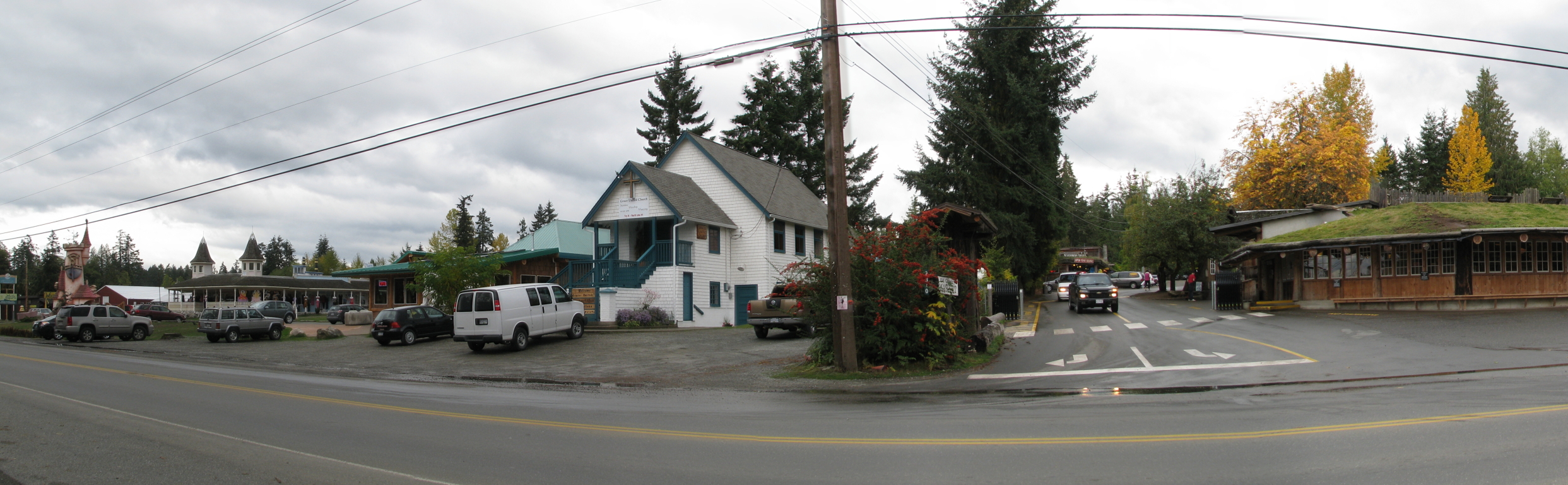
So, way back when I was in my early teens and we had just moved to the farm in Manitoba, my mother had a friend in the homeschooling community we’ll call L. L., her husband and kids lived near Winnipeg and we visited them several times. At some point L divorced that man and married another, and moved out to a piece of land right near Coombs. L. had recently started a home business making and selling rubber stamps, and was going to set up a booth near the tourist trap above to sell them. It wasn’t in the goat building (right) but beside it – I can’t recall if it was in the area immedately left and behind the goat place in the above picture, or the one half a block down. They were building an outdoor mini-mall in a fake western town style and that’s where this booth was going to be. That particular structure is gone now but has been replaced with another pretty much the same by the looks of it.
Anyway, L. needed help manning the booth and invited my mother to come out and do it part-time for pay, room provided in a trailer on-site. For reasons I don’t entirely recall we went along with the idea. It didn’t pan out. After a month we left, and that kind of killed the friendship between my mother and L. (Small world department though – I recently found one of L.’s kids working at the same place I do.)
I remember that month being one of extreme deprivation; the only thing I had been able to bring with me was my recently completed collection of New Mutants back-issues (re-read many times), and it was just about impossible to wring any money for the local arcade since funds were extremely tight. I did though, and spent every moment I could playing Trojan and Bad Dudes. Sometimes we went to visit L. at her place and I got to play Pitfall II on their VCS or look at their largely useless Coleco Adam (it had Buck Rogers: Planet of Zoom, but that’s not much of a game compared to Pitfall). Yeah, I did a lot of playing Pitfall II – great game.
So that’s my history with Coombs. A month of boredom and tension over quarters, punctuated by the occasional burst of gaming.
The goat building at the time was pretending to be a vendor of local arts and crafts, but was mostly filled with fake imported arts and crafts. Today they seem to have given up pretending – half the store is still imported crap, and the rest is now a food market. Otherwise it’s quite similar to before. Also the trailer we were staying in is now gone; it was in bad shape at the time anyway.
Proceeded to Nanaimo to catch the ferry home. Because of the way I (and, it turns out, a co-worker) got burned by the ferry service this week, last night I had made reservations for the 7pm boat so I’d be able to take my time arriving and maybe look around a bit in Nanaimo. As it turned out, I arrived in time for the 5pm boat and decided to take it. Uneventful cruise (though a bit chilly and very, very windy out on deck) and then a short drive and I was home. Vacation ENDS!
I had a good time. It was nice to get some solitude and break the chains of routine and city life for a while, but at the same time I realized there is something to be said for traveling with company; some of the excitement of travel only emerges if you share it at the time.
Today’s GPS track:
[gmap type=”satellite” width=”80%” zoom=”auto” center=”files” file=’__UPLOAD__/2009/10/20091016.kmz’]
Long Beach vacation day 6
Thursday October 15, 2009.
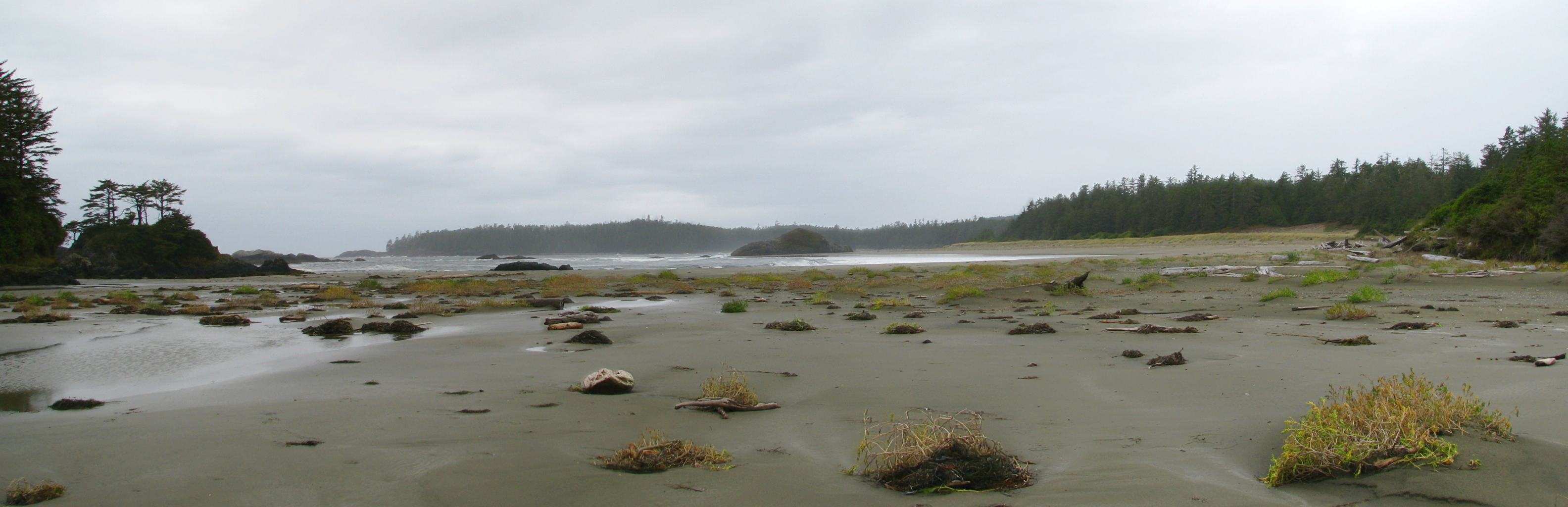
 Today being my last full day here, I really wanted to get to the bottom of the Schooner Cove mystery and see where my parents hung out before I was born. After discussing what I saw yesterday with my mother on the phone, I concluded that there was much more to Schooner Cove than what is immediately visible from the end of the boardwalk; the real cove is around the corner from there, and you have to climb over rocks at not-high-tide to reach it. I consulted the tide chart and determined that I had a few hours to kill before it would be accessible, so I went down to walk the length of Wickaninnish Beach.
Not much to say about this beach. I ended up not going the whole length because I spotted some fresh what-a-bear-does-on-the-beach on the way, and given that the high tide forced me to walk near the woods that kind of made me nervous. Bears and cougars and me don’t get on so well. It turns out there have only been five cougar-related fatalities in the last hundred years in B.C., but four of those occurred on the island and they didn’t say anything about non-fatal maulings. So I cut that walk short, and instead spent some time at the Shore Pine Bog Trail. This is one thing I do remember from my childhood visit; the bizarrely twisted trees and relatively open, meadowy spaces really made an impression on me, as did the presence of carnivorous plants (honeydew; though I didn’t spot them this time). It’s still as starkly gorgeous as I remember:
![]()
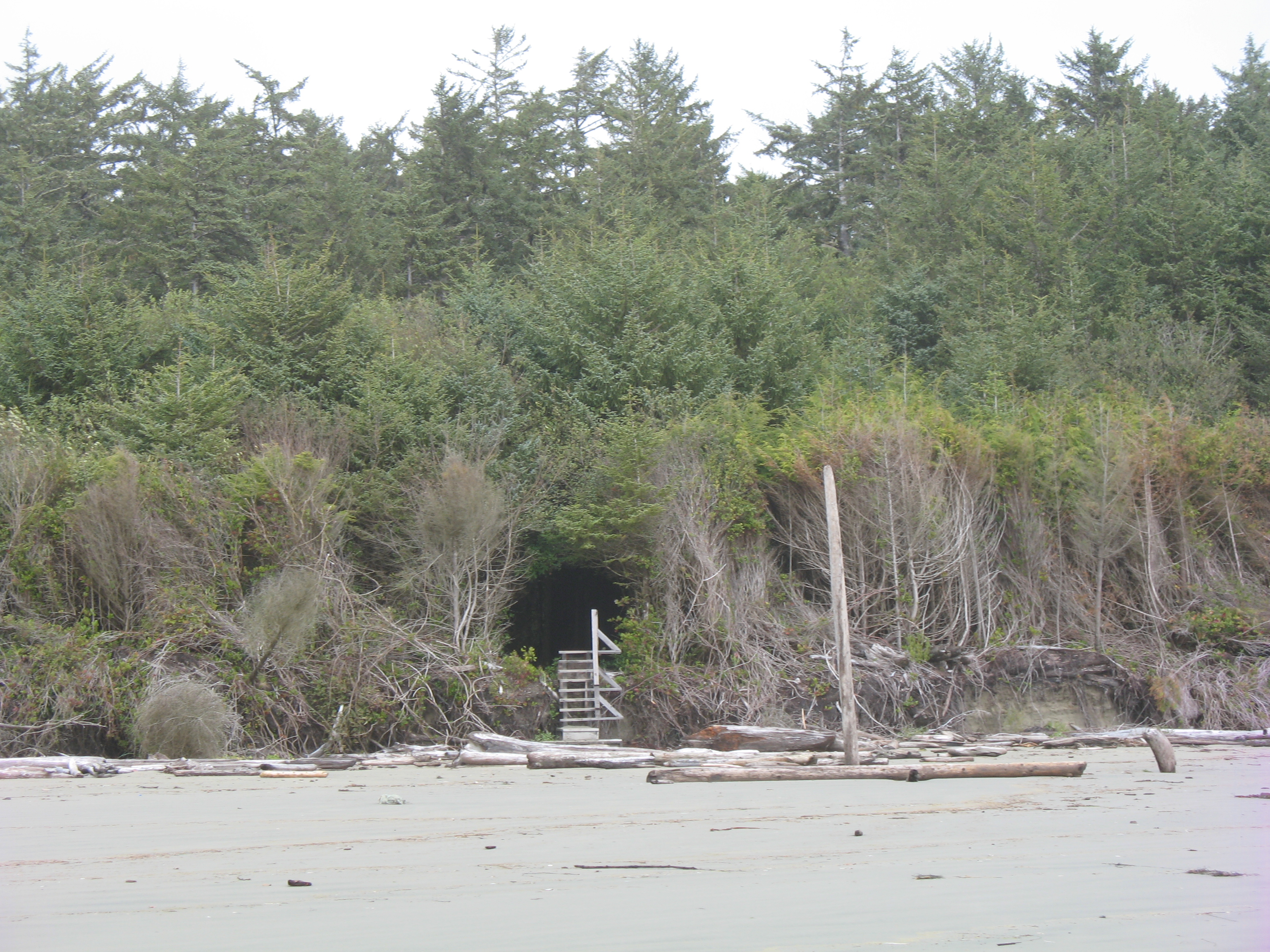
Then I headed for Schooner Cove again. This time I avoided the long and hilly boardwalk by parking at Incinerator Rock and walking across the beach to get there. Even a couple of hours after the tide started going out it was still a little tricky to reach the proper cove without getting wet, but I was rewarded with a view that dislodged some more memories:
I remember when I was here as a kid, my mother took me to one of the rock outcrops along a beach and showed me the spot where my father crashed his Morris Minor. He had hit the rock and got stuck in the sand, and the tide was coming in – he had no choice but to abandon the car and watch the water rip it to pieces. I remember there still being a rusted engine block at the foot of the outcrop, but that might be a false memory – it may be that my parents told me it was still there a couple of years later, not that it was still there when I myself was present. Must ask about that. Anyway, I mentioned in an earlier post that I thought the rock outcrop in question was the one I first saw on arrival a couple of days ago, but the one in the middle of the above picture much more closely matches the shape of what I remember from my childhood visit. On the third hand, when walking back through the tidal choke point from here to where I parked, I almost tripped over a rusted metal contraption of some kind sticking out of the sand. I’d like to think it was from the same car, but more likely it’s a much more recent thing; oxidizable metals just don’t last 30+ years in this environment.
Anyway, I’m pretty sure that somewhere visible in the above photo, or not far away from it, is the location of the tree house my parents built and lived in while they were here. No doubt the house and those of the neighbors are long gone since this is now park land, but I would very much like to return some time and locate it more precisely. I almost reached my ancestral spawning grounds, but not quite.
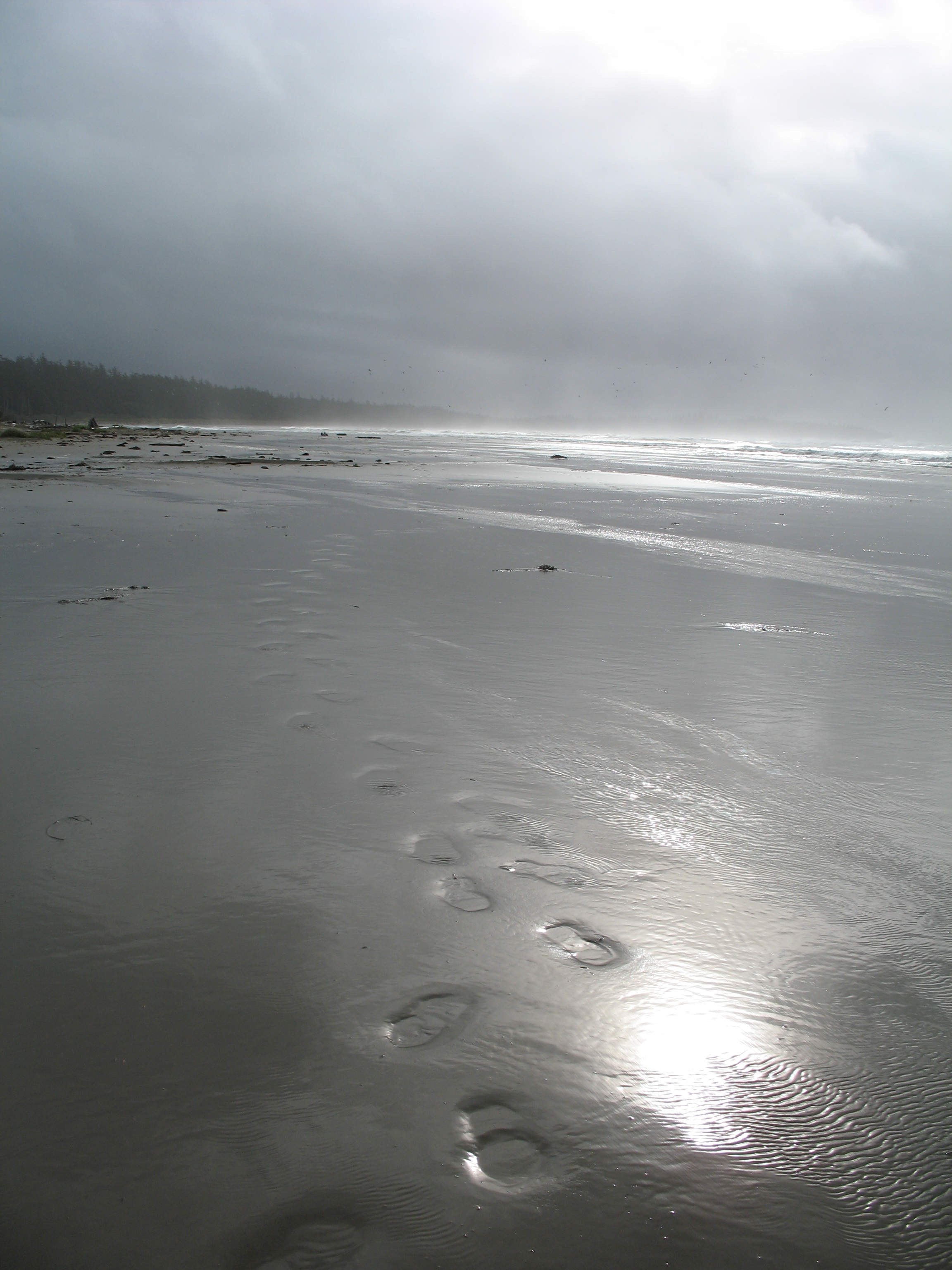
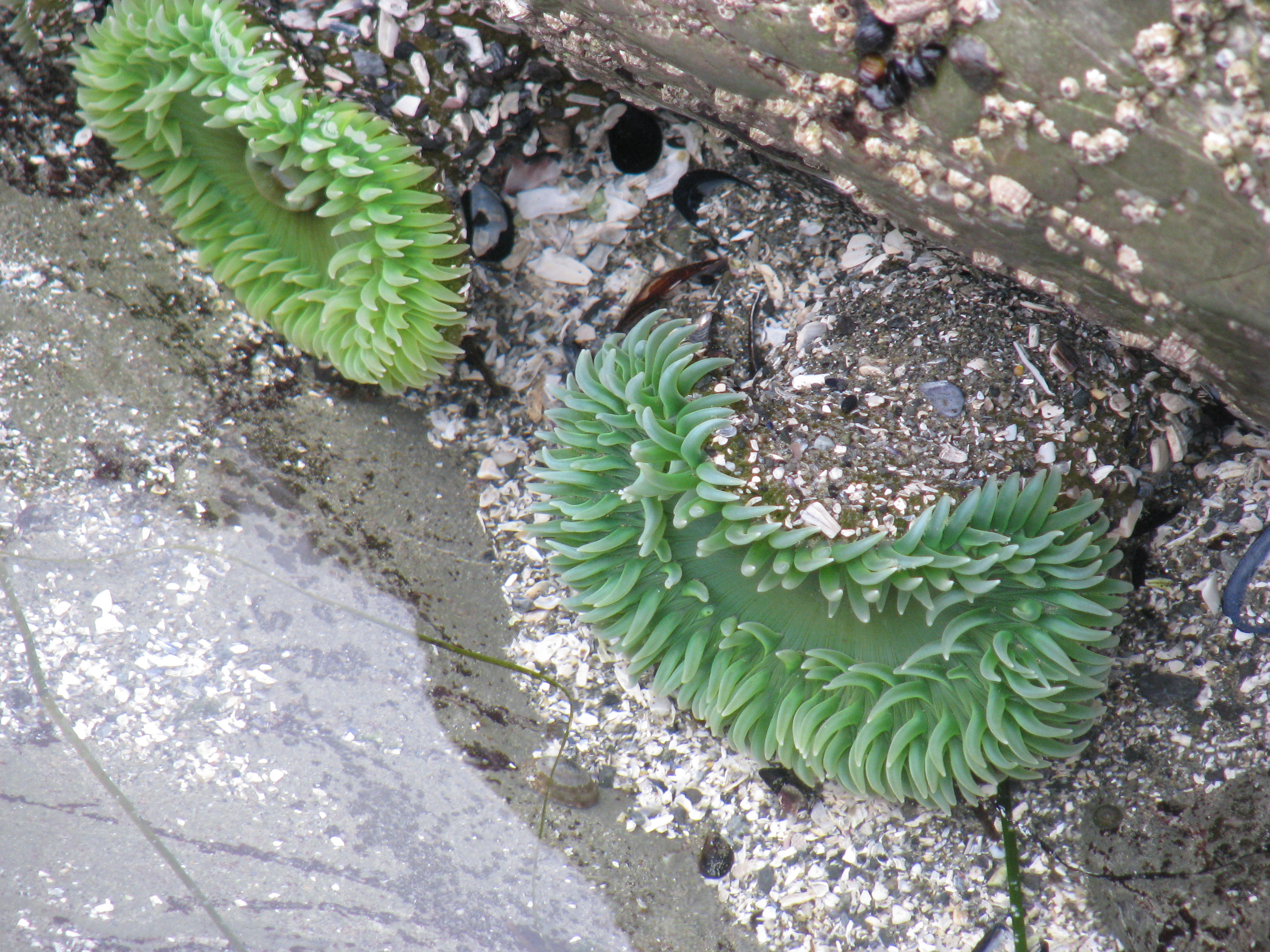 By this point I was feeling a bit nervous about wildlife since there was nobody else in sight and no other footprints in the sand, and also I wasn’t sure how long I had before the tide started coming back in again and I didn’t want to risk getting cut off. So I went back to the not-choke-point area and spent some time poking at life forms in the tidal pools.
There was nothing else I wanted to do that I thought I could pack into the day, so I went back to Tofino for supper. Ate at a local spot called The Schooner. I was a bit put off by their prices and that none of their plethora of menus is all-day, but it was OK food anyway. I noticed they had an extensive breakfast menu so I planned to eat there tomorrow before heading home.
Returned to the resort and took a post-sunset walk on the beach to say goodbye, and called it a night.
End of the third and last full day at the beach. Today’s GPS track:
[gmap type=”satellite” width=”80%” zoom=”auto” center=”files” file=’__UPLOAD__/2009/10/20091015.kmz’]
Long Beach vacation day 5
Wednesday October 14, 2009.
My goals for today were to walk the lengh of Combers Beach (the next one south of Long Beach) and to visit Schooner Cove, which is where my parents lived and where (I just learned) I was conceived.
A digression first: Before I embarked on this vacation, I looked through my photos to try and find pictures from my childhood visit to Long Beach, with the intent of rephotographing them. I only found one, which was a picture of a sand castle I made as a child with some islands in the background. Yesterday I didn’t spot any locations that might have been it, but today with a bit of a shock I spotted those islands right outside my resort cabin! Confirmed by phone with my mother: we stayed at a campground that is just up the beach from where I am now. Here are the original and rephotographed versions side by side (no sand castle this time; not because I didn’t want to make one but because it was cold and rainy and I don’t have any suitable clothes for scrambling around in the sand):

It was interesting to reflect on standing in the same place almost two decades later, but it didn’t really give me the same cognitive dissonance effect that you might expect; not much has changed here and the site wasn’t really familiar enough to me. It’d be different if this were a place I had spent years and a lot of the surroundings had changed. Anyway, end of rephotography digression.
So I went down to Combers Beach. The walk down from the parking lot went through a tunnel through a dark and scary bunch of trees. These trees were so competitive and yet so stunted by the constant strong wind and sand and salt blasting they get that almost no light gets through their canopy. There is no undergrowth:
When I reached the beach the tide was high but on its way out. It was reaching almost to the end of the path, but by the time I got back it was out far enough to take the photo above.
I walked north first, all the way back to Green Point, and climbed on the rocks again a bit. I had been expecting it to be really rainy here based on the weather at the resort this morning, so I put a rain jacket over top of my warm jacket and also put on rain pants. This will become important later. The weather at Combers Beach was quite different though; it was dry (almost no rain) with a very high wind; there were sheets of sand blowing along the beach and making small dunes around the driftwood. The sun actually broke through the clouds a few times.
Saw a couple more beached jellyfish and also a live crab of a species I haven’t encountered before:

I was going to continue south on the beach past where I entered, but I was quickly blocked by a small river crossing the beach, too deep to cross without getting my feet soaked. Checking my map later, I discovered that the section south of this river is called Wickaninnish Beach and is accessible from another parking lot – maybe something for tomorrow. So onward to my next destination: Schooner Cove.
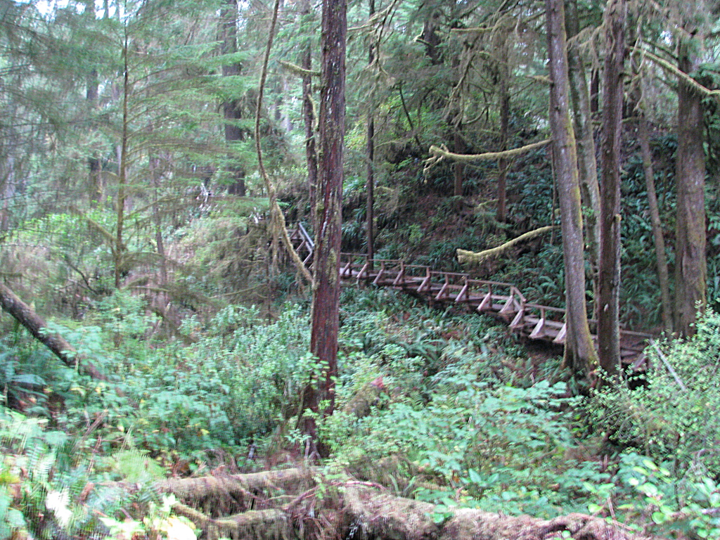 Access to Schooner Cove from the nearest parking lot is via a trail that skirts the edge of the nearby indian reservations. The trail is the most incredible boardwalk I’ve ever seen. It’s a full kilometer long and has a lot of ups and downs, even dipping in and out of a small canyon at one point. Very Ewok village. However, I rather doubt this is how my parents used to reach the cove when they lived here, and on checking by phone afterwards it seems they used to cut right through the reservation. Oh well.
Remember I mentioned the rain pants earlier? Yeah. Since it was windy, dry and not too cold at Combers Beach, I took them off and switched back to a camera that couldn’t be safely stowed in a pocket. Mistake. As soon as I reached the water here I found myself in an incredible downpour. Just a plain, no-nonsense soaker. I was soaked to the bone within half a minute and having a very difficult time keeping water out of my camera.
Also the tide was still a bit high here and it didn’t look like I could get very far even without the rain. So I turned around and trudged back up the kilometer of stairs to the parking lot, and headed back to the resort for a hot shower and a dry-off. Only the power was out when I got there. Damn! So I just put on dry clothes and went into Tofino to explore.
Not much to say about that. Like Ucluelet, it’s a small town with a heavy emphasis on tourist-soaking. They do seem to get a lot of custom from the natives who come and go by boat from here though.
Several of the local business were running on gas generators; I guess power failures are not uncommon here either. I picked up some snacks at the local bakery, The Common Loaf, then noticed the sky was clearing up.
I rushed back to the resort with the intention of trying to take a time-lapse movie of the sunset. I actually would have loved to make a movie of the tide coming in and out at Long Beach, but there was nowhere to get enough power for that. I will think about portable power solutions for the future. The power did come back on while I was filming, which is why there is a slight frame skip partway through this movie, and it did cloud over again before sunset, but presented anyway is this experiment: 900 frames at 5 seconds per frame, covering a span of 75 minutes – so about 150 times realtime. d20091014c.avi – it’s high-def, so best to save locally before playing. If you’re missing the codec, it’s called “h.263+”.
End of second full beach day. Today’s GPS track:
[gmap type=”satellite” width=”80%” zoom=”auto” center=”files” file=’__UPLOAD__/2009/10/20091014.kmz’]
Long Beach vacation day 4
Tuesday October 13, 2009.
Today was my first full day on the beach. Had a quick breakfast and then headed out to Long Beach proper. (There are several beaches between Tofino and Ucluelet and each has its own name. Long Beach is the longest stretch of sand unbroken by rock outcrops). Here’s my first view of the beach since I was a little kid:
![]()
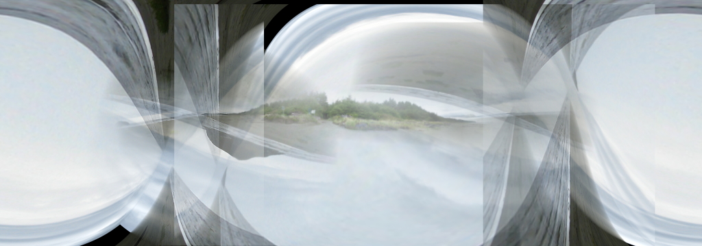
Darkening of the sand near the middle is partly moisture and partly due to me shooting this panorama with autoexposure on; that’s where the sun was brightest. I think that rock near the middle is where my father crashed his car when my parents lived here. More research needed. Incidentally, when I was trying to create this panorama, Autostitch freaked out in an interesting way I haven’t seen before, and produced this work of computer-generated art:
I walked to Incinerator Rock at the north end of the beach. From there it looked like about a mile to Green Point at the south end, so I decided to walk the whole length. Wow, distance is very deceptive here – this beach is almost two and a half miles long. Normally that wouldn’t be a problem, but I had brought my full camera bag with me, including my film camera and my best lenses for it. Heavy. By the time I got back to the parking lot I was really bagged, and wishing I had equipped Sandvich for this outing.
During the walk I alternated between following the tide line looking for interesting debris, and either looking at the driftwood at the global high tide mark or taunting the sea by walking just out of its present reach (never once misjudged how far a wave would reach). Didn’t find any interesting shells along the tide line, but I did find about a dozen jellyfish of two or maybe three species. This one’s a moon jelly, about a foot in diameter:
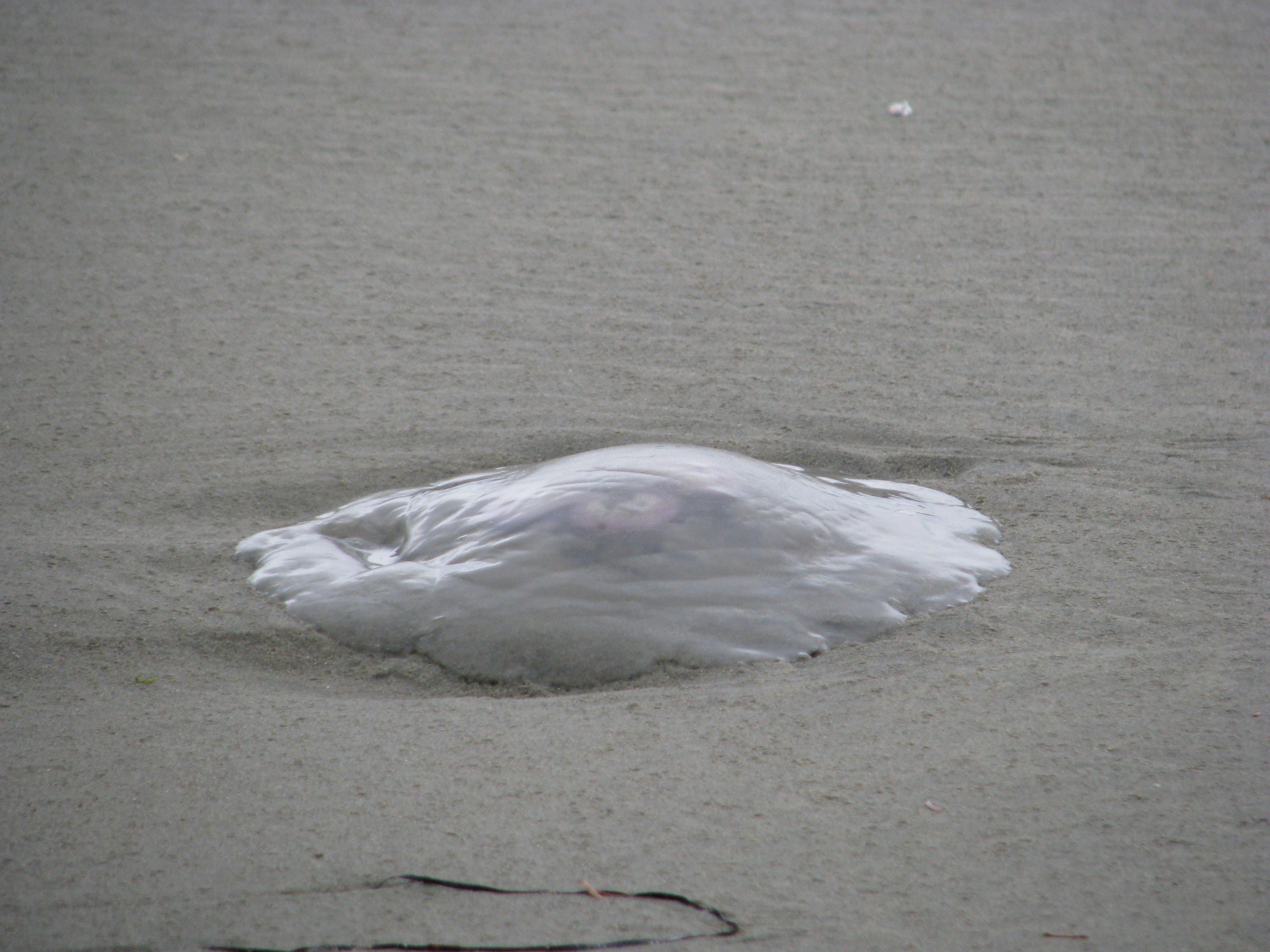
Naturally I prodded them with my walking stick (slash monopod; highly useful) hoping to elicit an appropriate tentacular-horror response, but they were all motionless. Sullen about failing their migration back to their forest home, I imagine.
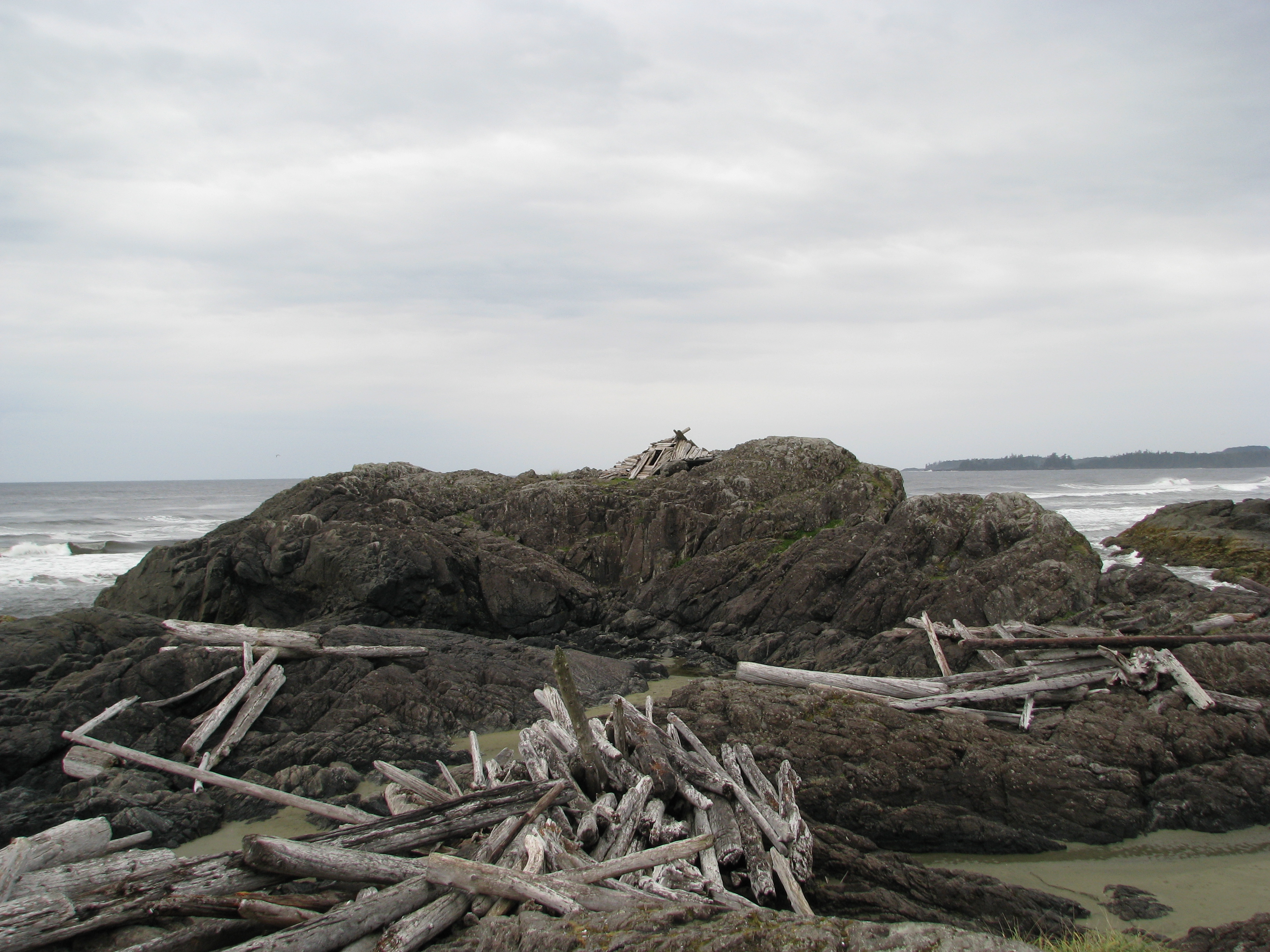
When I got to Green Point at the south end of the beach I did some climbing on the rocks and looking into tidal pools. Found one pool with a lot of small anemones in it, but they weren’t very colorful. Also on top of one of the rocks there was a very permanent-looking surfer shelter made of driftwood. Might be fun to spend a stormy evening in one of those.
When I got back to the parking lot I was really hungry, so I drove down to explore Ucluelet and get some eats. Not much to say about Ucluelet; small town with mainly tourist-driven commerce and some local-scale fishing. I ate at Ukee Dogs, which is a local hole-in-the-wall specializing in hot dogs. I had their signature dish, which is a baked frank in a hoagie bun loaded with fried onions and bean chili, with grated cheddar on top. Good stuff; I will eat here again.
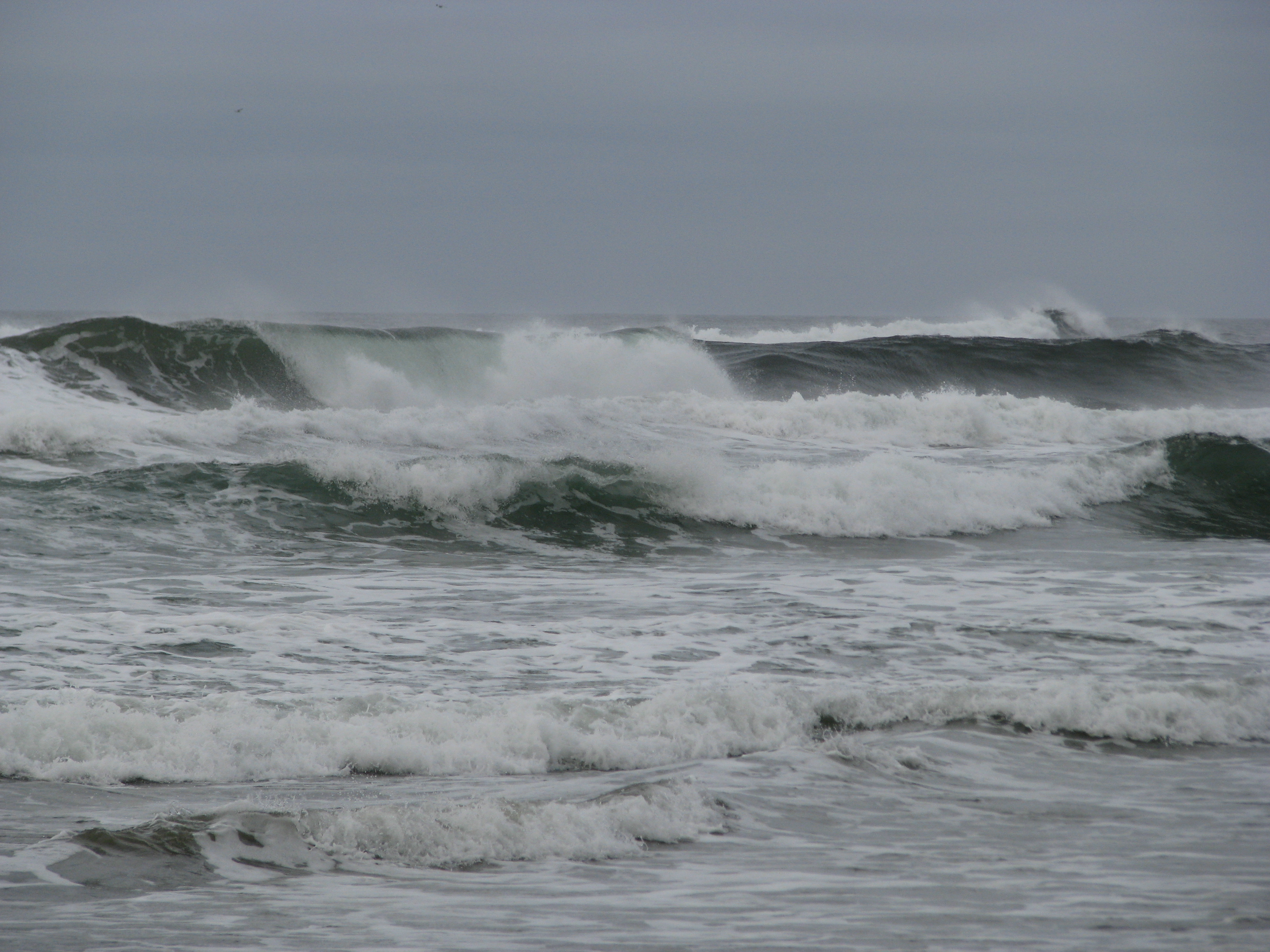
There’s a lighthouse at the south end of Ucluelet with a park around it. I went for a walk there and enjoyed a bit of coastal breeze – the wind was really picking up and driving a heavy rain. Watched the waves crashing on ship-wrecking rocks for a while.
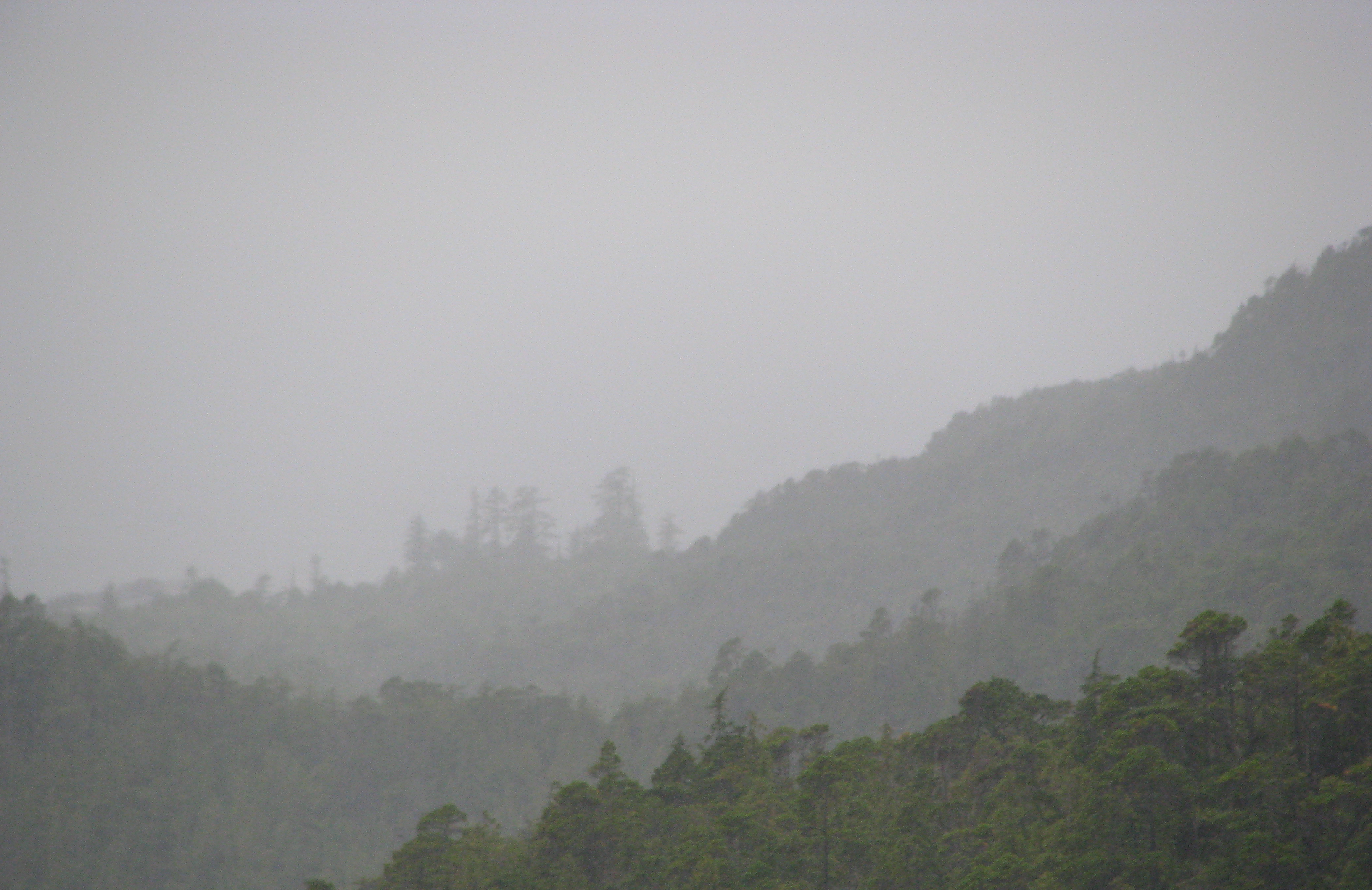
Then I headed up to Radar Hill to see what the view was like. Not spectacular due to the weather, and there were cougar warnings posted that made me a bit nervous (hardly any other tourists around, and I’m so sweet and tasty), so I didn’t stay too long. I do rather like this picture though:
Went back to Incinerator Rock for a while to have a look at the next beach north, but by then it was getting on so I went back to the resort for the evening. End of beach day one.
Today’s GPS track:
[gmap type=”satellite” width=”80%” zoom=”auto” center=”files” file=’__UPLOAD__/2009/10/20091013.kmz’]
Long Beach vacation day 3
Monday October 12, 2009.
Today was all about getting from Victoria to Long Beach, with a couple of tourism stops along the way.
Had breakfast with Jean-Luc at Floyd’s Diner (highly recommended, as is the nearby Pluto’s). It’s always good to catch up with friends.
Then I hit the road. First stop was the Kinsol Trestle, reputed to be the highest wooden railway trestle in the British Commonwealth. Made one wrong turn in trying to find it, but no big deal. Note to self though: Google Earth is not yet available everywhere while driving. This is of course a crime, but until it is rectified I should get into the habit of bringing sufficient directions with me printed on dead trees.
Next stop was going to be the Morden Colliery, but the turnoff wasn’t marked and I missed it. I was already running a bit behind by now so I decided to leave it for another time.
Proceeded to the West coast, with only snack and bathroom breaks.
Ever have one of those awkward moments where you misspeak or make a mistake in front of a stranger, then feel the need to do something to save face? Yeah. So when I arrived at the junction of the road between Tofino and Ucluelet, there was a park office there. I figured I might as well get my parking pass for the Pacific Rim national park on my way by, so I stopped. Just as I was getting out of the Slaymobile, a woman asked which way I was going. I said “Ucluelet”, and she walked away with her male in tow. The office turned out to be closed, so I got back in and drove out onto the highway again.
Upon reaching the junction proper, I realized I had the two towns confused (only the Nth time that has happened) and it was actually Tofino I was headed for. Sure enough, right around the corner were those two people, hitchhiking. Split second decision, fueled by the fact that they could recognize me and I didn’t want them to think I had been lying, and by my perception that hitching is a fine tradition in these parts, I stopped to pick them up. Dropped them off at the female’s workplace just outside Tofino, which turned out to be the turnoff right before the resort I’m staying at.
That was weird. Normally I’d never pick up hitchers, but I in a quick decision moment I made what I would consider a bad judgement call because I didn’t want them to have a bad opinion of me. Since when do I care so much about what people think of me? This is uncharacteristic and disturbing.
Arrived at my place of sleeping for this vacation: Ocean Village Beach Resort. It was recommended to me by some cow-orkers, and it does seem nice. I got an individual cabin all to myself, right on the beach. Here’s the view from the living room of my cabin:
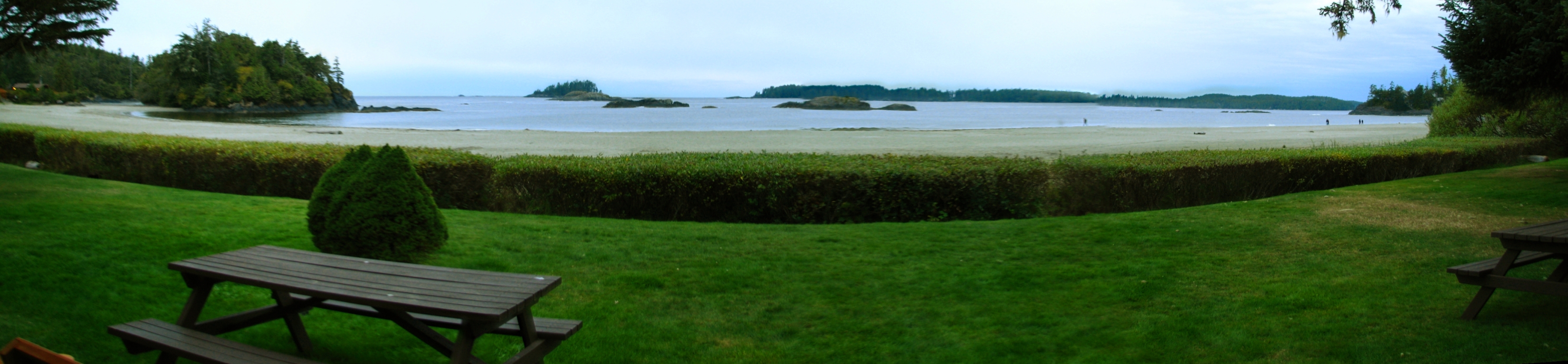
Sweet. I can sit here and listen to the waves crash on the beach while I read or hack.
Went in to Tofino to hunt and kill some grub. Tried a place called Shelter, which was recommended to me by a couple of people. I didn’t like it much though; too fancy for my tastes, and too dark to see what I was actually eating.
Got groceries, returned to my cabin and called it a night.
And hey, the wireless works here. Now I can start catching up on my travelblogue experiment.
Today’s GPS track:
[gmap type=”satellite” width=”80%” zoom=”auto” center=”files” file=’__UPLOAD__/2009/10/20091012.kmz’]